UN/LOCODE hub · United States
USRKY
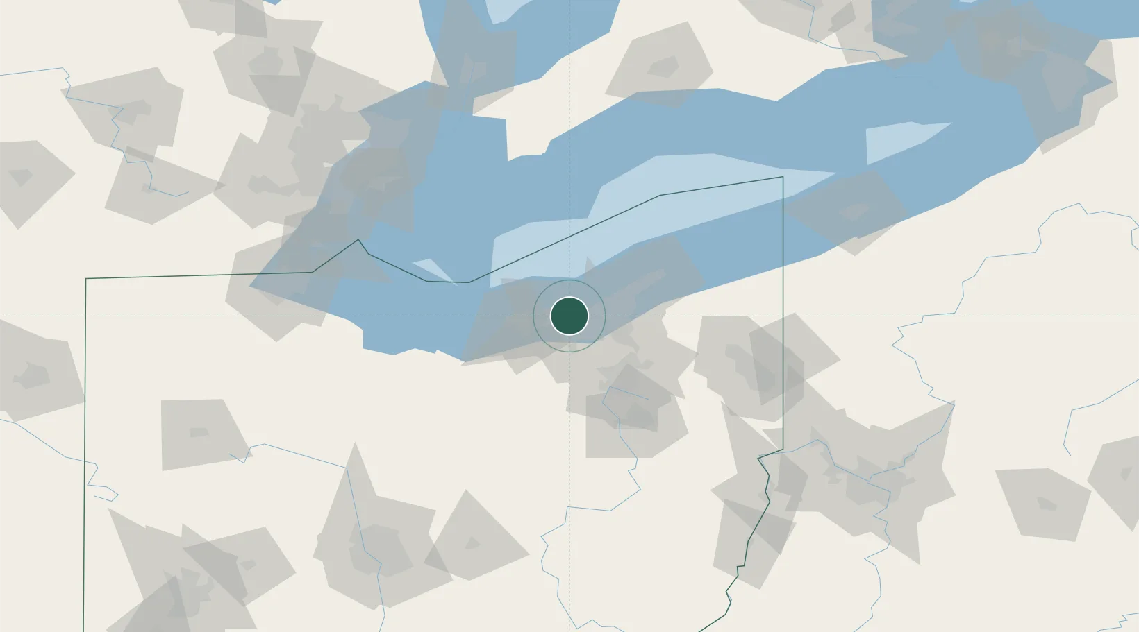
Rocky River
41.4667°, -81.8333°
20,376
Population
4
Transport functions
Transport Functions
Port
Rail
Road
Multimodal
Hub Profile
Place type
Populated place
Region
Ohio
Population
20,376
Time zone
America/New_York
Elevation
210 m
Location
Nearby Logistics Neighbours
Cities
- 1Fairview Park4 km
- 2Grand Rapids8 km
- 3Olmsted Falls11 km
- 4Ohio City11 km
- 5Berea13 km
Airports
Trade Zones
- 1FTZ No. 040 Cleveland4 km
- 2FTZ No. 181 Akron Canton57 km
- 3Windsor - Essex Foreign Trade Zone137 km
- 4FTZ No. 008 Toledo143 km
- 5FTZ No. 070 Detroit152 km
DatabookThe Record of Consolidated Knowledge
United States beyond logistics?