UN/LOCODE hub · United States
USCU5
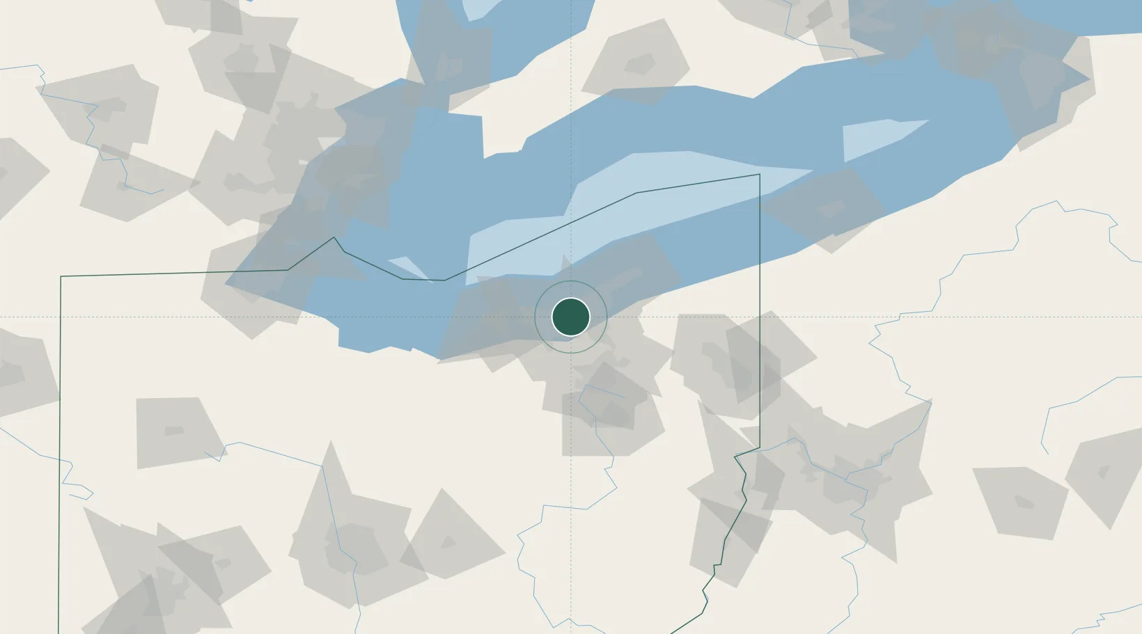
Cuyahoga Heights
41.4475°, -81.6782°
617
Population
1
Transport functions
Transport Functions
Multimodal
Hub Profile
Place type
Populated place
Region
Ohio
Population
617
Time zone
America/New_York
Elevation
218 m
Logistics facilities
1
Location
Nearby Logistics Neighbours
Cities
- 1Newburgh Heights1 km
- 2Ohio City4 km
- 3Cleveland5 km
- 4North Randall12 km
- 5Shaker Heights12 km
Airports
Trade Zones
- 1FTZ No. 040 Cleveland15 km
- 2FTZ No. 181 Akron Canton55 km
- 3Windsor - Essex Foreign Trade Zone148 km
- 4FTZ No. 247 Erie150 km
- 5FTZ No. 008 Toledo156 km
DatabookThe Record of Consolidated Knowledge
United States beyond logistics?