Transport Functions
Port
Hub Profile
Place type
Populated place
Region
Texas
Time zone
America/Chicago
Elevation
65 m
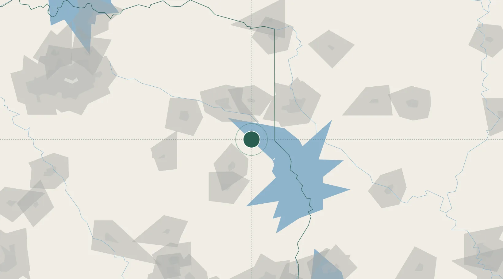
Location
Nearby Logistics Neighbours
Cities
- 1Timpson13 km
- 2Cushing50 km
- 3Waskom58 km
- 4Keithville60 km
- 5San Augustine61 km
Ports
- 1Beaumont217 km
- 2Orange223 km
- 3Lake Charles227 km
- 4Port Neches228 km
- 5Port Arthur246 km
Airports
Trade Zones
- 1FTZ No. 145 Shreveport63 km
- 2FTZ No. 146 Lawrence County63 km
- 3FTZ No. 234 Gregg County76 km
- 4FTZ No. 297 Lufkin87 km
- 5FTZ No. 269 Athens145 km
DatabookThe Record of Consolidated Knowledge
United States beyond logistics?