UN/LOCODE hub · United States
USUNV
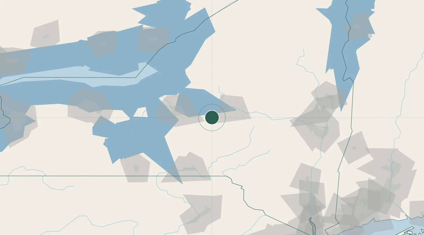
Munnsville
42.9667°, -75.5833°
469
Population
2
Transport functions
Transport Functions
Road
Multimodal
Hub Profile
Place type
Populated place
Region
New York
Population
469
Time zone
America/New_York
Elevation
201 m
Location
Nearby Logistics Neighbours
Cities
- 1Cazenovia22 km
- 2New Hartford27 km
- 3New York Mills29 km
- 4Riverdale29 km
- 5Yorkville30 km
Ports
- 1Oswego94 km
- 2Sodus Bay118 km
- 3Clayton146 km
- 4Wolfe Island153 km
- 5Albany154 km
Airports
Trade Zones
- 1FTZ No. 172 Oneida County48 km
- 2FTZ No. 090 Onondaga95 km
- 3FTZ No. 109 Watertown116 km
- 4FTZ No. 121 Albany147 km
- 5FTZ No. 289 Ontario County163 km
DatabookThe Record of Consolidated Knowledge
United States beyond logistics?