UN/LOCODE hub · United States
USRRO
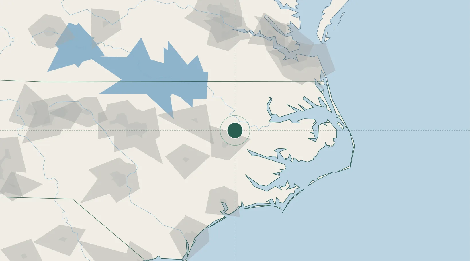
Robersonville
35.8167°, -77.2333°
1,424
Population
2
Transport functions
Transport Functions
Rail
Road
Hub Profile
Place type
Populated place
Region
North Carolina
Population
1,424
Time zone
America/New_York
Elevation
22 m
Location
Nearby Logistics Neighbours
Cities
- 1Everetts6 km
- 2Hamilton13 km
- 3Bethel, Pitt15 km
- 4Lewiston34 km
- 5Winterville35 km
Ports
- 1Washington34 km
- 2Plymouth44 km
- 3Belhaven60 km
- 4Edenton61 km
- 5Hertford80 km
Airports
Trade Zones
- 1FTZ No. 214 Lenoir County90 km
- 2FTZ No. 020 Suffolk136 km
- 3FTZ No. 093 Raleigh Durham151 km
- 4FTZ No. 207 Richmond192 km
- 5FTZ No. 230 Piedmont Triad Area266 km
DatabookThe Record of Consolidated Knowledge
United States beyond logistics?