Transport Functions
Multimodal
Hub Profile
Place type
Populated place
Region
New York
Time zone
America/New_York
Elevation
296 m
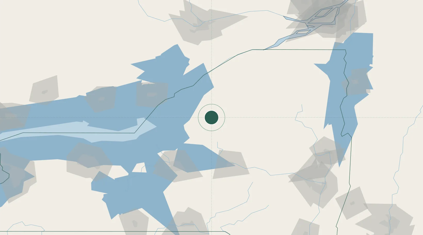
Location
Nearby Logistics Neighbours
Cities
- 1Castorland4 km
- 2Carthage12 km
- 3Philadelphia32 km
- 4Greenboro38 km
- 5Dexter40 km
Ports
- 1Clayton55 km
- 2Alexandria Bay57 km
- 3Rockport63 km
- 4Gananoque69 km
- 5Wolfe Island78 km
Airports
Trade Zones
- 1FTZ No. 109 Watertown29 km
- 2FTZ No. 172 Oneida County81 km
- 3FTZ No. 118 Ogdensburg92 km
- 4FTZ No. 090 Onondaga93 km
- 5FTZ No. 121 Albany192 km
DatabookThe Record of Consolidated Knowledge
United States beyond logistics?