UN/LOCODE hub · United States
USCL2
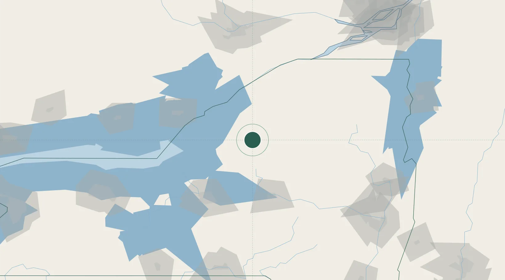
Castorland
43.8833°, -75.5167°
348
Population
2
Transport functions
Transport Functions
Rail
Road
Hub Profile
Place type
Populated place
Region
New York
Population
348
Time zone
America/New_York
Elevation
226 m
Location
Nearby Logistics Neighbours
Cities
- 1Denmark4 km
- 2Carthage14 km
- 3Philadelphia34 km
- 4Greenboro41 km
- 5Theresa43 km
Ports
- 1Clayton58 km
- 2Alexandria Bay59 km
- 3Rockport65 km
- 4Gananoque72 km
- 5Brockville79 km
Airports
Trade Zones
- 1FTZ No. 109 Watertown32 km
- 2FTZ No. 172 Oneida County83 km
- 3FTZ No. 118 Ogdensburg92 km
- 4FTZ No. 090 Onondaga96 km
- 5FTZ No. 121 Albany189 km
DatabookThe Record of Consolidated Knowledge
United States beyond logistics?