Transport Functions
Road
Multimodal
Hub Profile
Place type
Populated place
Region
Pennsylvania
Population
2,784
Time zone
America/New_York
Elevation
516 m
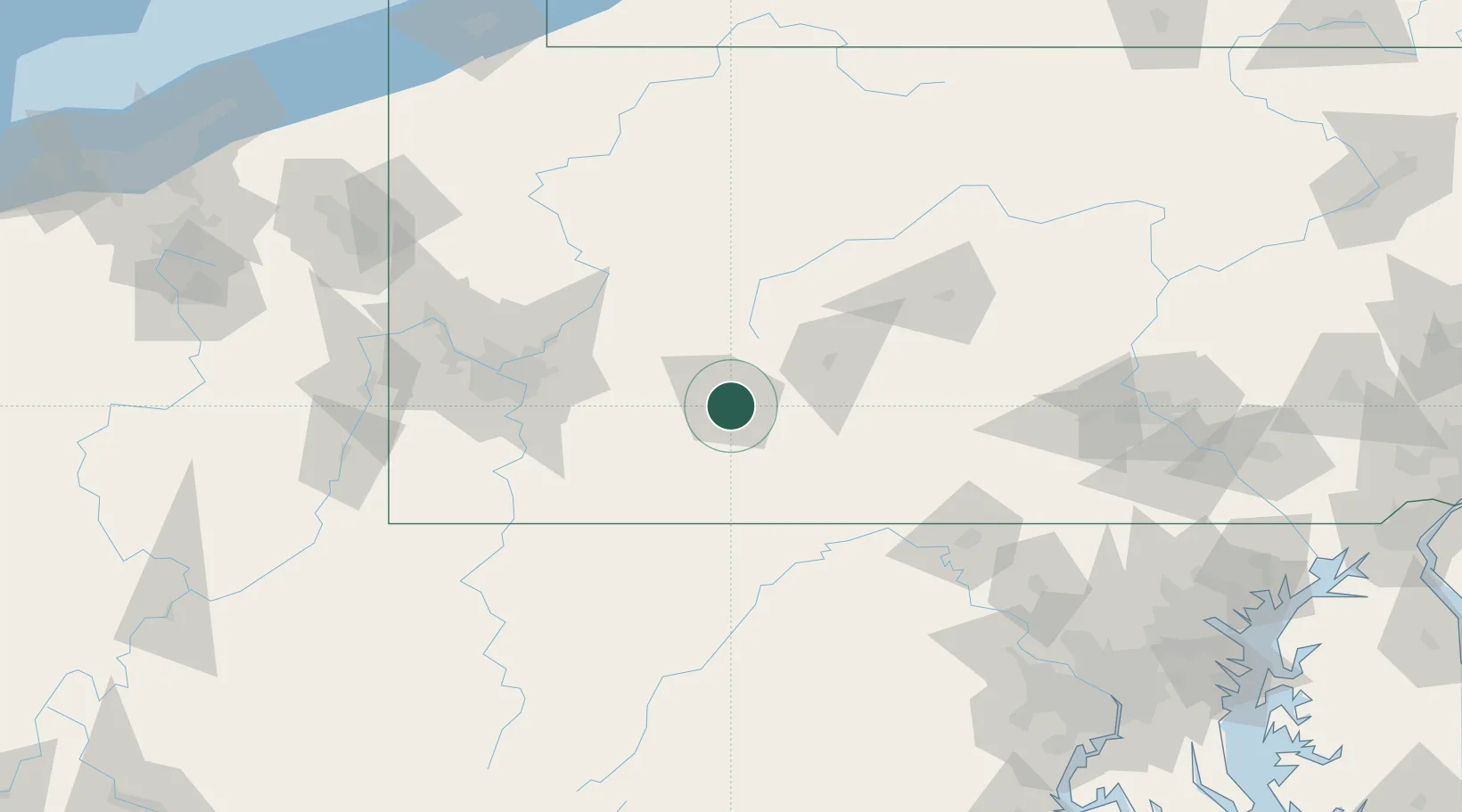
Location
Nearby Logistics Neighbours
Cities
- 1Elton7 km
- 2Hollsopple10 km
- 3New Florence20 km
- 4Stoystown21 km
- 5Littletown29 km
Ports
- 1Washington D.C.224 km
- 2Baltimore227 km
- 3Alexandria229 km
- 4Erie231 km
- 5Conneaut234 km
Airports
Trade Zones
DatabookThe Record of Consolidated Knowledge
United States beyond logistics?