Transport Functions
Road
Multimodal
Hub Profile
Place type
Populated place
Region
Pennsylvania
Time zone
America/New_York
Elevation
503 m
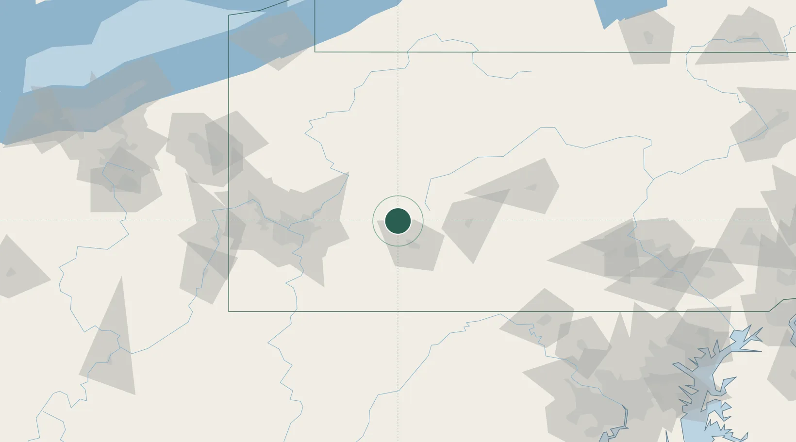
Location
Nearby Logistics Neighbours
Cities
- 1Homer City10 km
- 2Palmertown13 km
- 3New Florence15 km
- 4Creekside21 km
- 5Northern Cambria27 km
Airports
Trade Zones
- 1FTZ No. 295 Central Pennsylvania71 km
- 2FTZ No. 033 Pittsburgh87 km
- 3FTZ No. 254 Jefferson County105 km
- 4FTZ No. 240 Martinsburg147 km
- 5FTZ No. 247 Erie199 km
DatabookThe Record of Consolidated Knowledge
United States beyond logistics?