Transport Functions
Port
Rail
Road
Multimodal
Hub Profile
Place type
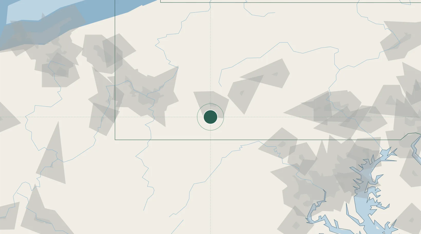
Populated place
Region
Pennsylvania
Population
355
Time zone
America/New_York
Elevation
559 m
Location
Nearby Logistics Neighbours
Cities
- 1Hollsopple11 km
- 2Belmont21 km
- 3Elton23 km
- 4New Florence34 km
- 5Meyersdale34 km
Ports
- 1Washington D.C.213 km
- 2Alexandria218 km
- 3Baltimore221 km
- 4Fredericksburg238 km
- 5Annapolis244 km
Airports
Trade Zones
DatabookThe Record of Consolidated Knowledge
United States beyond logistics?