UN/LOCODE hub · United States
USOTC
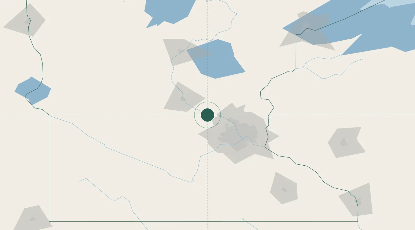
Monticello
45.3000°, -93.7833°
13,299
Population
3
Transport functions
Transport Functions
Rail
Road
Multimodal
Hub Profile
Place type
Populated place
Region
Minnesota
Population
13,299
Time zone
America/Chicago
Elevation
282 m
Location
Nearby Logistics Neighbours
Cities
- 1Big Lake5 km
- 2Becker11 km
- 3Saint Michael15 km
- 4Buffalo16 km
- 5Elk River17 km
Ports
- 1Superior207 km
- 2Duluth209 km
- 3Two Harbors252 km
- 4Ashland268 km
- 5Washburn271 km
Airports
Trade Zones
- 1FTZ No. 119 Minneapolis-St. Paul57 km
- 2FTZ No. 051 Duluth201 km
- 3FTZ No. 288 Northwest Iowa300 km
- 4FTZ No. 267 Fargo300 km
- 5FTZ No. 220 Sioux Falls308 km
DatabookThe Record of Consolidated Knowledge
United States beyond logistics?