Transport Functions
Road
Multimodal
Hub Profile
Place type
Populated place
Region
Louisiana
Time zone
America/Chicago
Elevation
60 m
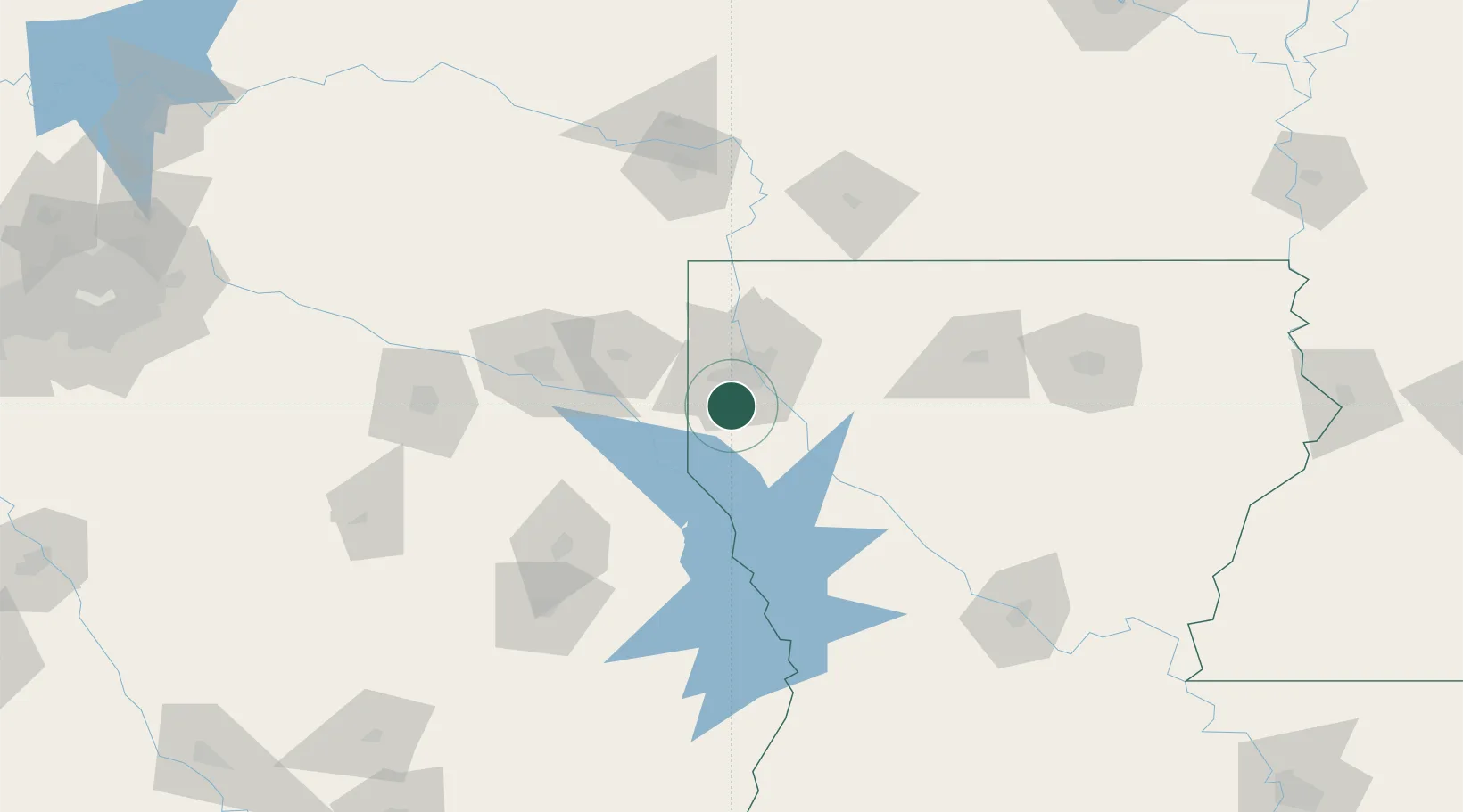
Location
Nearby Logistics Neighbours
Ports
- 1Lake Charles240 km
- 2Orange249 km
- 3Beaumont250 km
- 4Port Neches258 km
- 5Port Arthur276 km
Airports
Trade Zones
- 1FTZ No. 145 Shreveport20 km
- 2FTZ No. 146 Lawrence County20 km
- 3FTZ No. 234 Gregg County105 km
- 4FTZ No. 297 Lufkin143 km
- 5FTZ No. 258 Bowie County151 km
DatabookThe Record of Consolidated Knowledge
United States beyond logistics?