UN/LOCODE hub · United States
USAFD
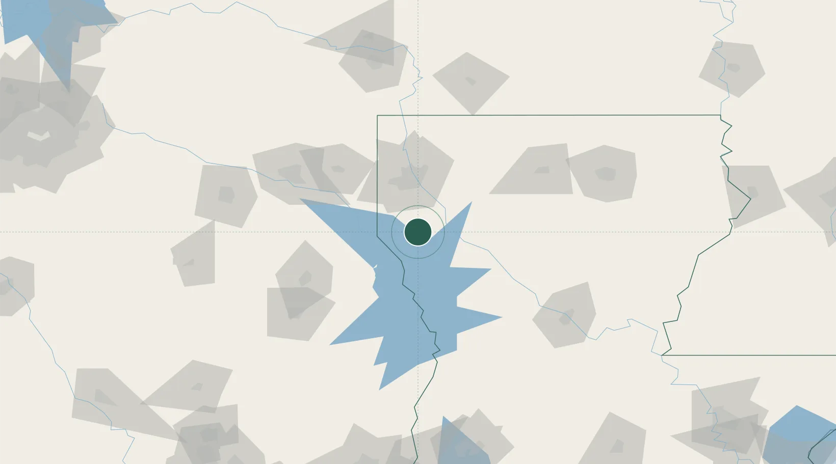
Mansfield
32.0333°, -93.7000°
4,946
Population
2
Transport functions
Transport Functions
Rail
Road
Hub Profile
Place type
Provincial seat
Region
Louisiana
Population
4,946
Time zone
America/Chicago
Elevation
102 m
Location
Nearby Logistics Neighbours
Cities
- 1Trenton9 km
- 2Converse30 km
- 3Keithville34 km
- 4Zwolle45 km
- 5Oakland52 km
Ports
- 1Lake Charles207 km
- 2Orange217 km
- 3Beaumont220 km
- 4Port Neches227 km
- 5Port Arthur246 km
Airports
- 1Shreveport Regional Airport47 km
- 2Barksdale Air Force Base52 km
- 3East Texas Regional Airport103 km
- 4Polk Army Air Field120 km
- 5Angelina County Airport133 km
Trade Zones
- 1FTZ No. 145 Shreveport53 km
- 2FTZ No. 146 Lawrence County53 km
- 3FTZ No. 234 Gregg County127 km
- 4FTZ No. 297 Lufkin131 km
- 5FTZ No. 258 Bowie County185 km
DatabookThe Record of Consolidated Knowledge
United States beyond logistics?