Transport Functions
Road
Multimodal
Hub Profile
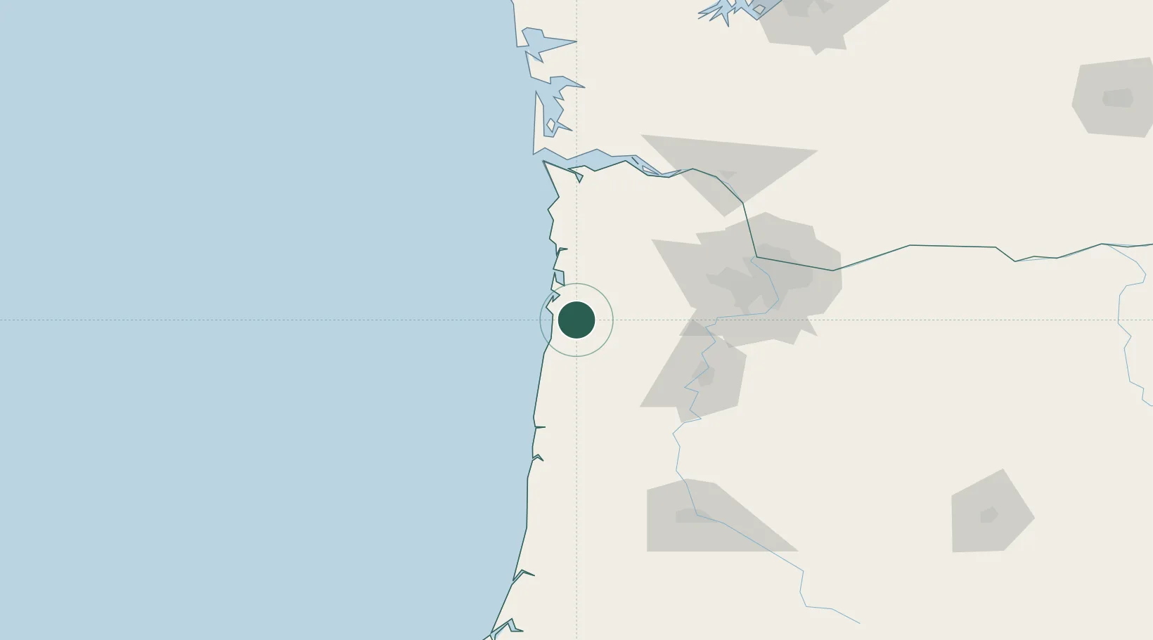
Place type
Populated place
Region
Oregon
Population
122
Time zone
America/Los_Angeles
Elevation
27 m
Location
Nearby Logistics Neighbours
Cities
- 1Lincoln City37 km
- 2Carlton51 km
- 3Lafayette56 km
- 4Rickreall61 km
- 5Cornelius66 km
Airports
Trade Zones
- 1FTZ No. 255 Washington County45 km
- 2FTZ No. 045 Portland86 km
- 3FTZ No. 296 Vancouver97 km
- 4FTZ No. 120 Cowlitz County114 km
- 5FTZ No. 216 Olympia209 km
DatabookThe Record of Consolidated Knowledge
United States beyond logistics?