Transport Functions
Port
Rail
Road
Multimodal
Hub Profile
Place type
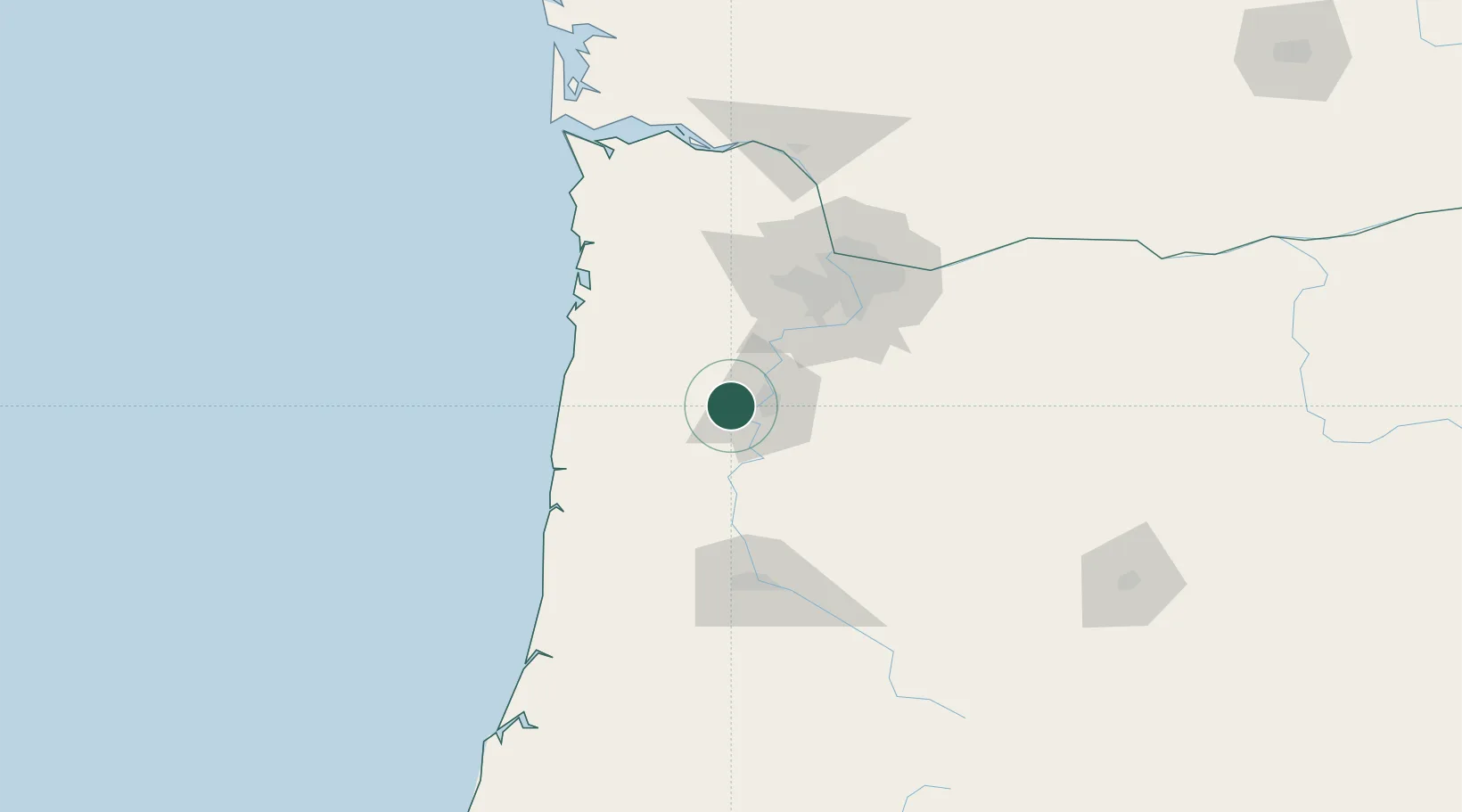
Populated place
Region
Oregon
Population
77
Time zone
America/Los_Angeles
Elevation
65 m
Location
Nearby Logistics Neighbours
Airports
Trade Zones
- 1FTZ No. 255 Washington County72 km
- 2FTZ No. 045 Portland77 km
- 3FTZ No. 296 Vancouver90 km
- 4FTZ No. 120 Cowlitz County135 km
- 5FTZ No. 132 Coos County190 km
DatabookThe Record of Consolidated Knowledge
United States beyond logistics?