Medium airport · United States

Aurora State AirportKUAO

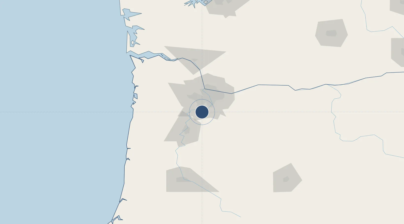
45.2471°, -122.7700°
5,003 ft
Longest runway
1
Runways
200 ft
Elevation

Runway & Layout

Aurora State Airport runway & taxiway layout
Runway & taxiway layout — OpenStreetMap (ODbL) / OurAirports

Radio Frequencies

ASOS
118.525 MHz
CLD
119.95 MHz
PORTLAND CLNC DEL
A/D
126 MHz
PORTLAND APP/DEP
UNIC
122.7 MHz
CTAF/UNICOM
OurAirports

Runways · 1

RunwayDimensions SurfaceTrue headingLit
17/35 5,003 × 100ft Asphalt 187°
OurAirports

Airport Specifications

ICAO code
KUAO
OurAirports
Airport class
Medium airport
OurAirports
Scheduled service
No
OurAirports
Runway surface
Asphalt
OurAirports
Served city
Aurora
OurAirports

Location

Location of KUAO
Natural Earth 10m (public domain) · Oregon · KUAO · 45.25, -122.77GoogleOSMYandex

Nearby Logistics Neighbours

Airports
  1. 1McMinnville Municipal Airport29 km
  2. 2Portland Hillsboro Airport36 km
  3. 3Portland International Airport40 km
  4. 4Salem-Willamette Valley Airport/McNary Field42 km
  5. 5Portland Troutdale Airport44 km
Nearest neighbours — logibook spatial index (haversine) over the source coordinates
Cities
  1. 1Donald6 km
  2. 2Beaver Creek19 km
  3. 3Mount Angel22 km
  4. 4Lafayette26 km
  5. 5Silverton28 km
Nearest neighbours — logibook spatial index (haversine) over the source coordinates
Ports
  1. 1Portland31 km
  2. 2Vancouver44 km
  3. 3Camas47 km
  4. 4Washougal50 km
  5. 5St Helens69 km
Nearest neighbours — logibook spatial index (haversine) over the source coordinates
Trade Zones
  1. 1FTZ No. 045 Portland33 km
  2. 2FTZ No. 296 Vancouver44 km
  3. 3FTZ No. 255 Washington County59 km
  4. 4FTZ No. 120 Cowlitz County99 km
  5. 5FTZ No. 216 Olympia200 km
Nearest neighbours — logibook spatial index (haversine) over the source coordinates
DatabookThe Record of Consolidated Knowledge
United States beyond logistics?
Browse databook

All Sources

AirportsOurAirports
Public domain
Portsthe NGA World Port Index
Public domain (US gov)
LocationsUN/LOCODE
UN/LOCODE — free
Trade Zonesthe World Bank SEZ database
CC BY 4.0
Trade ZonesOpen Zone Map
CC BY
InfrastructureOpenStreetMap
ODbL 1.0
← United States airports