Transport Functions
Road
Multimodal
Hub Profile
Place type
Populated place
Region
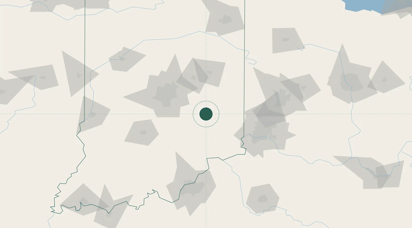
Indiana
Population
604
Time zone
America/Indiana/Indianapolis
Elevation
294 m
Location
Nearby Logistics Neighbours
Cities
- 1Rushville13 km
- 2Middletown, Shelby16 km
- 3Henderson21 km
- 4Flat Rock34 km
- 5Knightstown34 km
Ports
- 1Michigan City278 km
- 2Gary285 km
- 3Indiana Harbor294 km
- 4Toledo299 km
- 5Calumet Harbor304 km
Airports
Trade Zones
- 1FTZ No. 047 Boone County76 km
- 2FTZ No. 072 Indianapolis77 km
- 3FTZ No. 046 CIncinnati92 km
- 4FTZ No. 100 Dayton107 km
- 5FTZ No. 029 Louisville138 km
DatabookThe Record of Consolidated Knowledge
United States beyond logistics?