UN/LOCODE hub · United States
USRUH
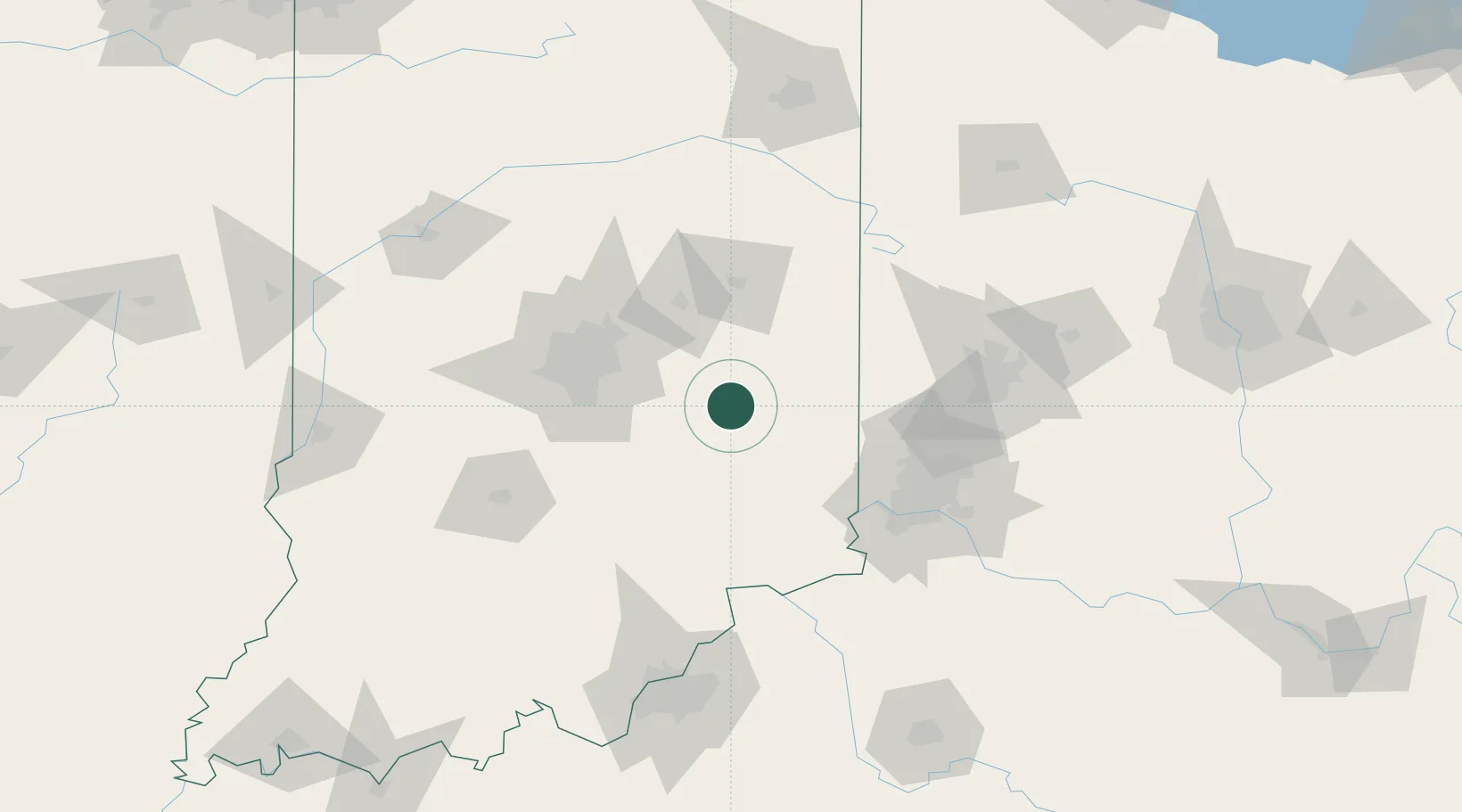
Rushville
39.6000°, -85.4333°
6,077
Population
3
Transport functions
Transport Functions
Rail
Road
Multimodal
Hub Profile
Place type
Provincial seat
Region
Indiana
Population
6,077
Time zone
America/Indiana/Indianapolis
Elevation
292 m
Location
Nearby Logistics Neighbours
Cities
- 1Henderson10 km
- 2Milroy13 km
- 3Knightstown22 km
- 4Middletown, Shelby24 km
- 5Spiceland26 km
Ports
- 1Michigan City268 km
- 2Gary276 km
- 3Indiana Harbor285 km
- 4Toledo286 km
- 5St Joseph293 km
Airports
Trade Zones
- 1FTZ No. 072 Indianapolis77 km
- 2FTZ No. 047 Boone County85 km
- 3FTZ No. 046 CIncinnati97 km
- 4FTZ No. 100 Dayton101 km
- 5FTZ No. 054 Clinton County142 km
DatabookThe Record of Consolidated Knowledge
United States beyond logistics?