UN/LOCODE hub · United States
USYLN
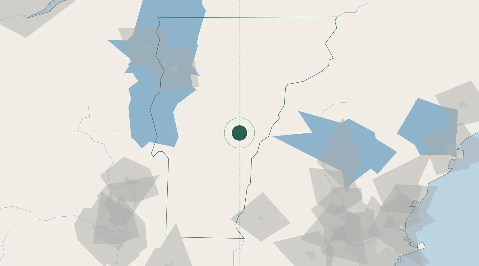
South Royalton
43.8167°, -72.5167°
694
Population
2
Transport functions
Transport Functions
Rail
Road
Hub Profile
Place type
Populated place
Region
Vermont
Population
694
Time zone
America/New_York
Elevation
150 m
Location
Nearby Logistics Neighbours
Cities
- 1Sharon7 km
- 2Randolph18 km
- 3Stockbridge19 km
- 4Norwich21 km
- 5Hanover23 km
Ports
- 1Troy154 km
- 2Albany164 km
- 3Rensselaer164 km
- 4Portsmouth164 km
- 5Saco170 km
Airports
Trade Zones
- 1FTZ No. 268 Brattleboro107 km
- 2FTZ No. 081 Portsmouth159 km
- 3FTZ No. 121 Albany161 km
- 4FTZ No. 201 Holyoke178 km
- 5FTZ No. 263 Auburn187 km
DatabookThe Record of Consolidated Knowledge
United States beyond logistics?