UN/LOCODE hub · United States
USRPZ
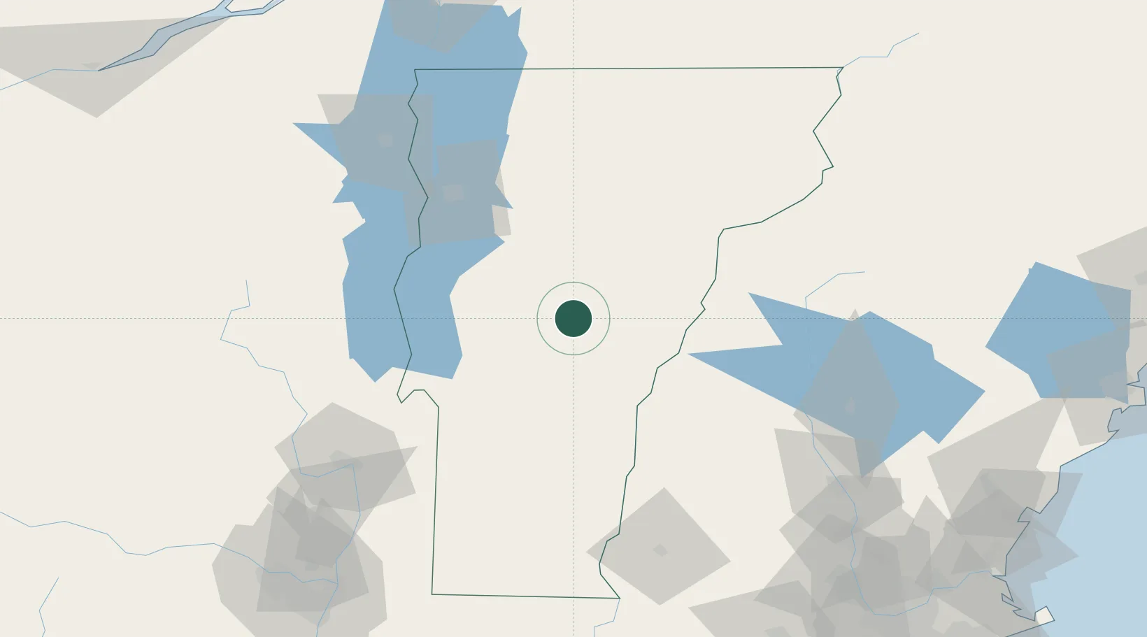
Randolph
43.9333°, -72.6667°
1,974
Population
3
Transport functions
Transport Functions
Rail
Road
Multimodal
Hub Profile
Place type
Populated place
Region
Vermont
Population
1,974
Time zone
America/New_York
Elevation
217 m
Location
Nearby Logistics Neighbours
Cities
- 1Hancock14 km
- 2South Royalton18 km
- 3Stockbridge18 km
- 4Sharon24 km
- 5Northfield24 km
Ports
- 1Troy157 km
- 2Albany168 km
- 3Rensselaer168 km
- 4Portsmouth181 km
- 5Beauharnois182 km
Airports
Trade Zones
- 1FTZ No. 268 Brattleboro119 km
- 2FTZ No. 121 Albany164 km
- 3FTZ No. 081 Portsmouth176 km
- 4Greater Montreal Free Zone Center189 km
- 5FTZ No. 201 Holyoke190 km
DatabookThe Record of Consolidated Knowledge
United States beyond logistics?