Transport Functions
Port
Rail
Road
Multimodal
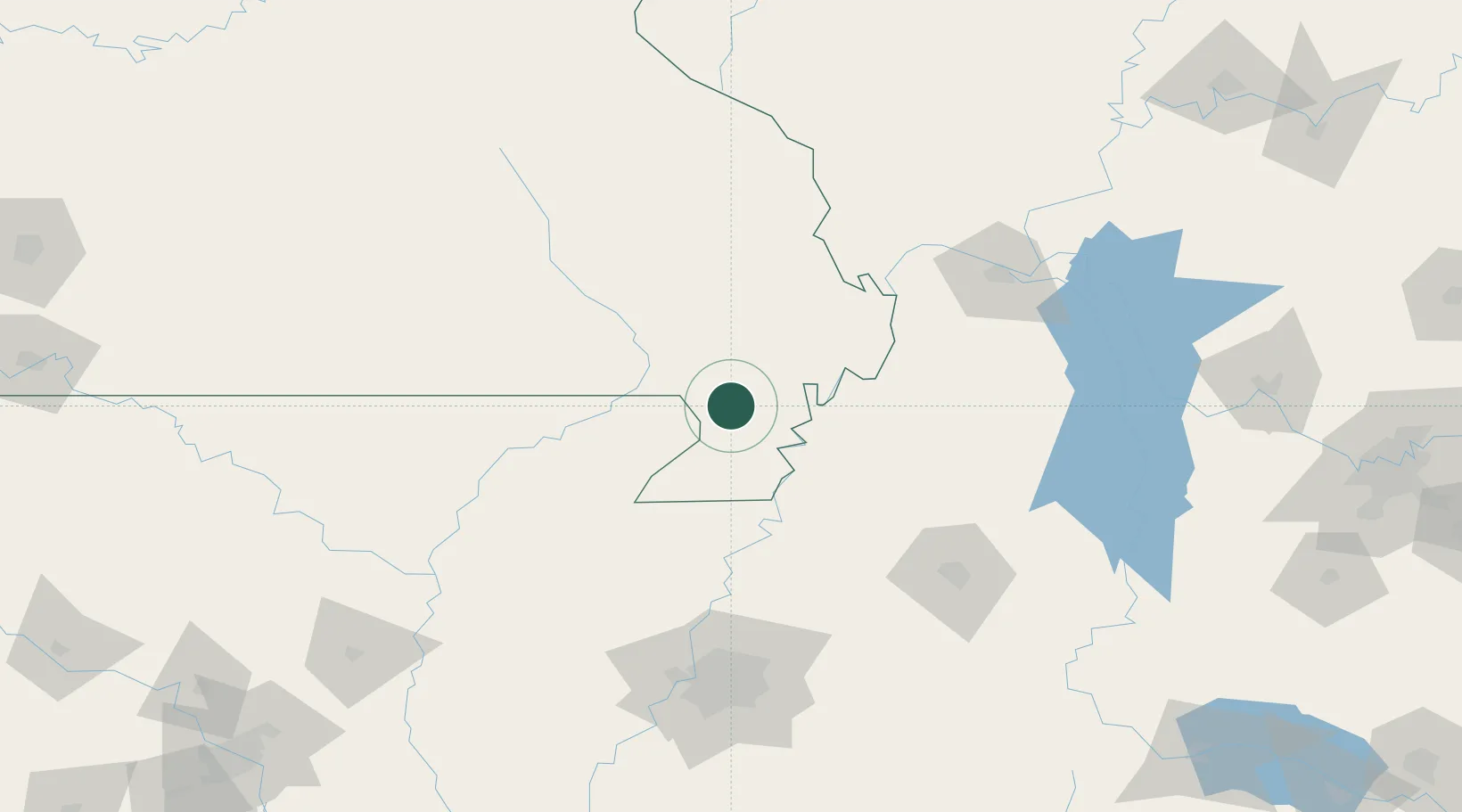
Hub Profile
Place type
Populated place
Region
Missouri
Population
1,041
Time zone
America/Chicago
Elevation
82 m
Location
Nearby Logistics Neighbours
Cities
- 1Parma21 km
- 2Portageville21 km
- 3Bernie25 km
- 4Hayti28 km
- 5New Madrid39 km
Ports
- 1Port Of Memphis156 km
- 2Gary616 km
- 3Indiana Harbor618 km
- 4Calumet Harbor623 km
- 5Chicago636 km
Airports
Trade Zones
- 1FTZ No. 283 West Tennessee81 km
- 2FTZ No. 294 Western Kentucky137 km
- 3FTZ No. 273 West Memphis147 km
- 4FTZ No. 223 Memphis148 km
- 5FTZ No. 077 Memphis150 km
DatabookThe Record of Consolidated Knowledge
United States beyond logistics?