Transport Functions
Road
Multimodal
Hub Profile
Place type
Populated place
Region
Tennessee
Time zone
America/Chicago
Elevation
158 m
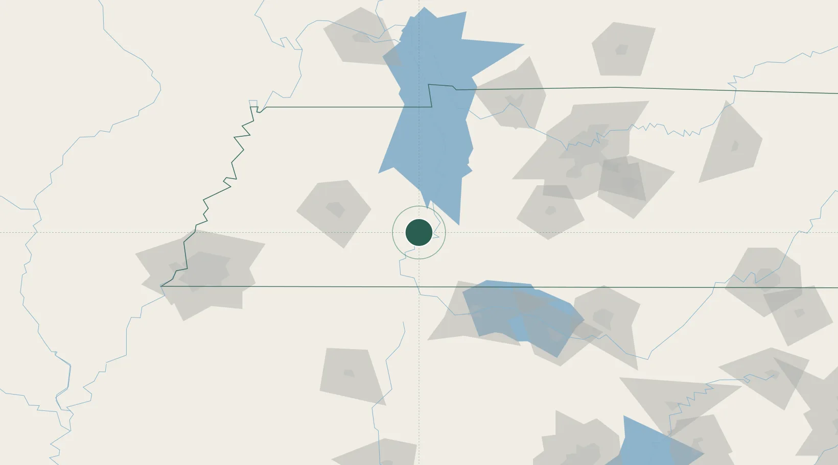
Location
Nearby Logistics Neighbours
Ports
- 1Port Of Memphis188 km
- 2Mobile530 km
- 3Biloxi568 km
- 4Pensacola568 km
- 5Pascagoula568 km
Airports
Trade Zones
- 1FTZ No. 078 Nashville128 km
- 2FTZ No. 265 Conroe (Montgomery County)140 km
- 3FTZ No. 283 West Tennessee142 km
- 4FTZ No. 270 Lawrence County144 km
- 5FTZ No. 083 Huntsville155 km
DatabookThe Record of Consolidated Knowledge
United States beyond logistics?