UN/LOCODE hub · United States
USPSZ

Parsons

35.6333°, -88.1167°
2,337
Population
2
Transport functions

Transport Functions

Road
Multimodal
UN/LOCODE

Hub Profile

Place type
Populated place
GeoNames
Region
Tennessee
GeoNames
Population
2,337
GeoNames
Time zone
America/Chicago
GeoNames
Elevation
151 m
GeoNames

Location

Location of USPSZ
Natural Earth 10m (public domain) · Tennessee · USPSZ · 35.63, -88.12GoogleOSMYandex

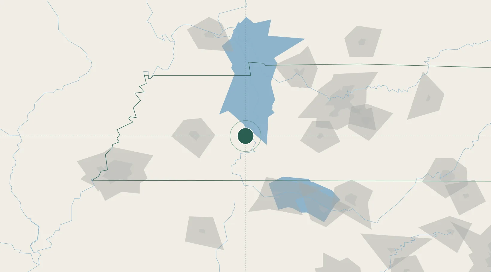
Nearby Logistics Neighbours

Cities
  1. 1Montgomery21 km
  2. 2Clifton30 km
  3. 3Huron37 km
  4. 4Luray41 km
  5. 5Bruceton48 km
Nearest neighbours — logibook spatial index (haversine) over the source coordinates
Ports
  1. 1Port Of Memphis196 km
  2. 2Mobile550 km
  3. 3Pensacola588 km
  4. 4Biloxi588 km
  5. 5Pascagoula589 km
Nearest neighbours — logibook spatial index (haversine) over the source coordinates
Airports
  1. 1McKellar-Sipes Regional Airport72 km
  2. 2Northwest Alabama Regional Airport109 km
  3. 3Campbell Army Airfield (Fort Campbell)129 km
  4. 4Nashville International Airport141 km
  5. 5Smyrna Airport150 km
Nearest neighbours — logibook spatial index (haversine) over the source coordinates
Trade Zones
  1. 1FTZ No. 078 Nashville113 km
  2. 2FTZ No. 283 West Tennessee141 km
  3. 3FTZ No. 265 Conroe (Montgomery County)151 km
  4. 4FTZ No. 270 Lawrence County155 km
  5. 5FTZ No. 083 Huntsville165 km
Nearest neighbours — logibook spatial index (haversine) over the source coordinates
DatabookThe Record of Consolidated Knowledge
United States beyond logistics?
Browse databook

All Sources

LocationsUN/LOCODE
UN/LOCODE — free
LocationsGeoNames
CC BY 4.0
Portsthe NGA World Port Index
Public domain (US gov)
AirportsOurAirports
Public domain
Trade Zonesthe World Bank SEZ database
CC BY 4.0
Trade ZonesOpen Zone Map
CC BY
← United States locations