Transport Functions
Rail
Road
Multimodal
Hub Profile
Place type
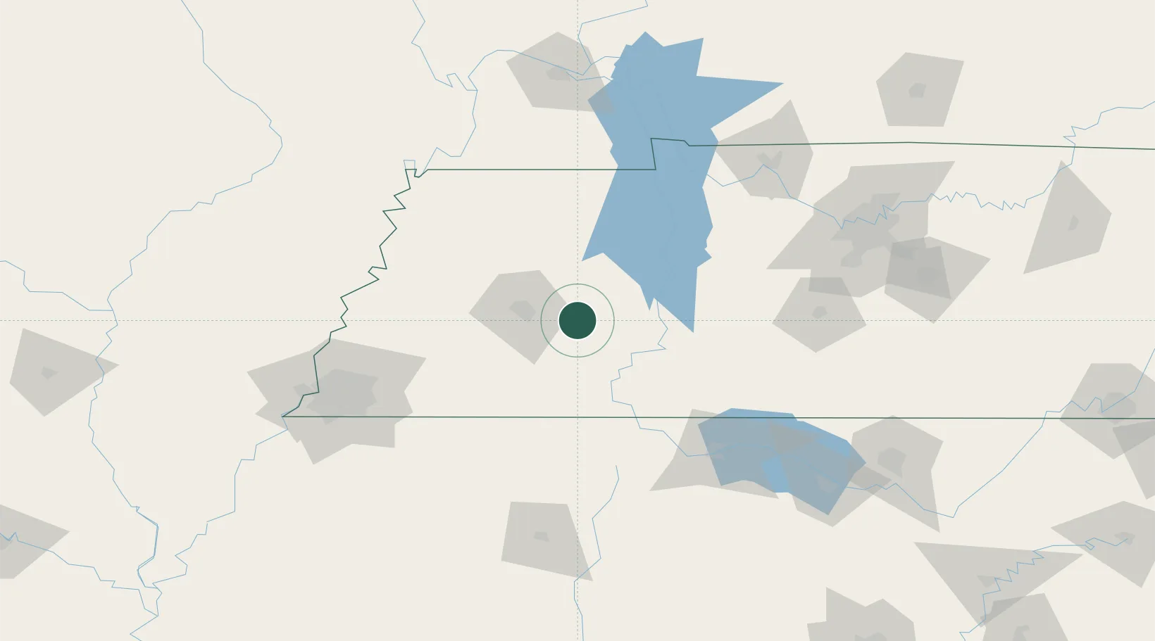
Populated place
Region
Tennessee
Time zone
America/Chicago
Elevation
127 m
Location
Nearby Logistics Neighbours
Cities
- 1Luray5 km
- 2Bemis27 km
- 3Medon35 km
- 4Montgomery36 km
- 5Parsons37 km
Ports
- 1Port Of Memphis160 km
- 2Mobile546 km
- 3Biloxi579 km
- 4Pascagoula582 km
- 5Gulfport584 km
Airports
Trade Zones
- 1FTZ No. 283 West Tennessee106 km
- 2FTZ No. 078 Nashville147 km
- 3FTZ No. 223 Memphis153 km
- 4FTZ No. 262 Southaven155 km
- 5FTZ No. 273 West Memphis160 km
DatabookThe Record of Consolidated Knowledge
United States beyond logistics?