UN/LOCODE hub · United States
USTCW
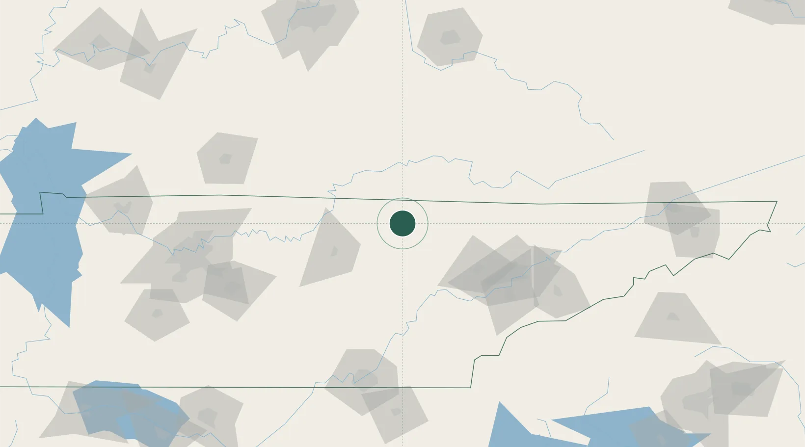
Jamestown
36.4167°, -84.9167°
1,947
Population
2
Transport functions
Transport Functions
Road
Multimodal
Hub Profile
Place type
Provincial seat
Region
Tennessee
Population
1,947
Time zone
America/Chicago
Elevation
524 m
Location
Nearby Logistics Neighbours
Cities
- 1Byrdstown25 km
- 2Helenwood33 km
- 3Huntsville37 km
- 4Wartburg46 km
- 5Algood53 km
Ports
- 1Beaufort590 km
- 2Huron591 km
- 3Sandusky591 km
- 4Port Clinton592 km
- 5Port Royal595 km
Airports
Trade Zones
- 1FTZ No. 148 Knoxville78 km
- 2FTZ No. 134 Chattanooga152 km
- 3FTZ No. 078 Nashville194 km
- 4FTZ No. 029 Louisville220 km
- 5FTZ No. 204 Tri-Cities224 km
DatabookThe Record of Consolidated Knowledge
United States beyond logistics?