Transport Functions
Rail
Road
Multimodal
Hub Profile
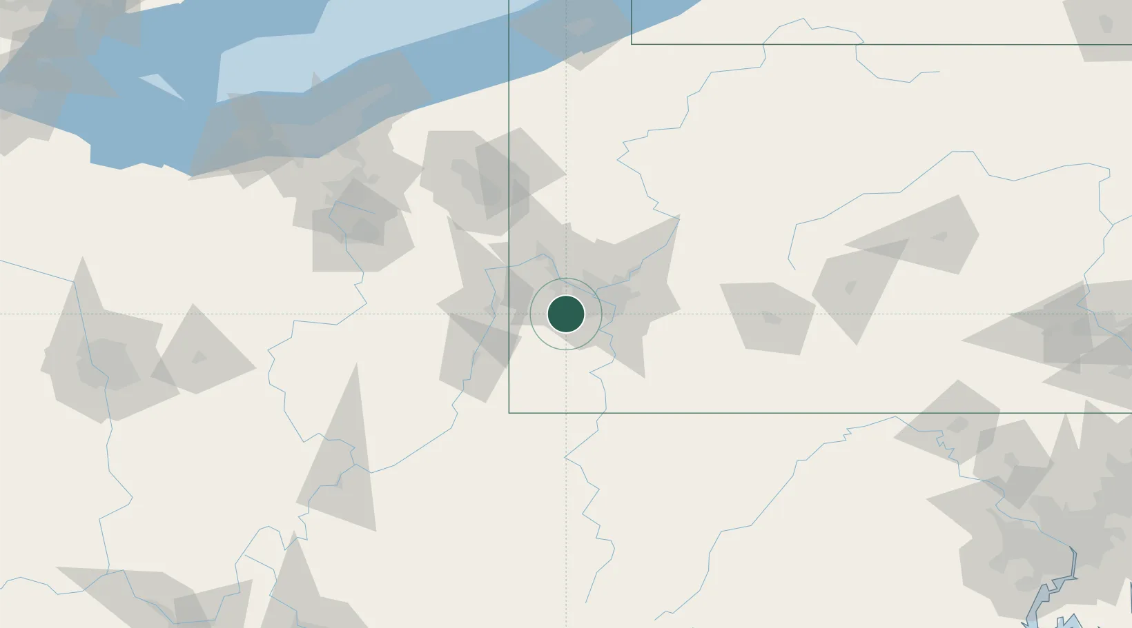
Place type
Populated place
Region
Pennsylvania
Time zone
America/New_York
Elevation
289 m
Location
Nearby Logistics Neighbours
Cities
- 1Cecil2 km
- 2Crafton14 km
- 3McKees Rocks16 km
- 4Loyalhanna18 km
- 5Eighty Four19 km
Airports
Trade Zones
- 1FTZ No. 033 Pittsburgh15 km
- 2FTZ No. 295 Central Pennsylvania149 km
- 3FTZ No. 181 Akron Canton150 km
- 4FTZ No. 254 Jefferson County171 km
- 5FTZ No. 040 Cleveland192 km
DatabookThe Record of Consolidated Knowledge
United States beyond logistics?