UN/LOCODE hub · United States
USEIH
Eighty Four
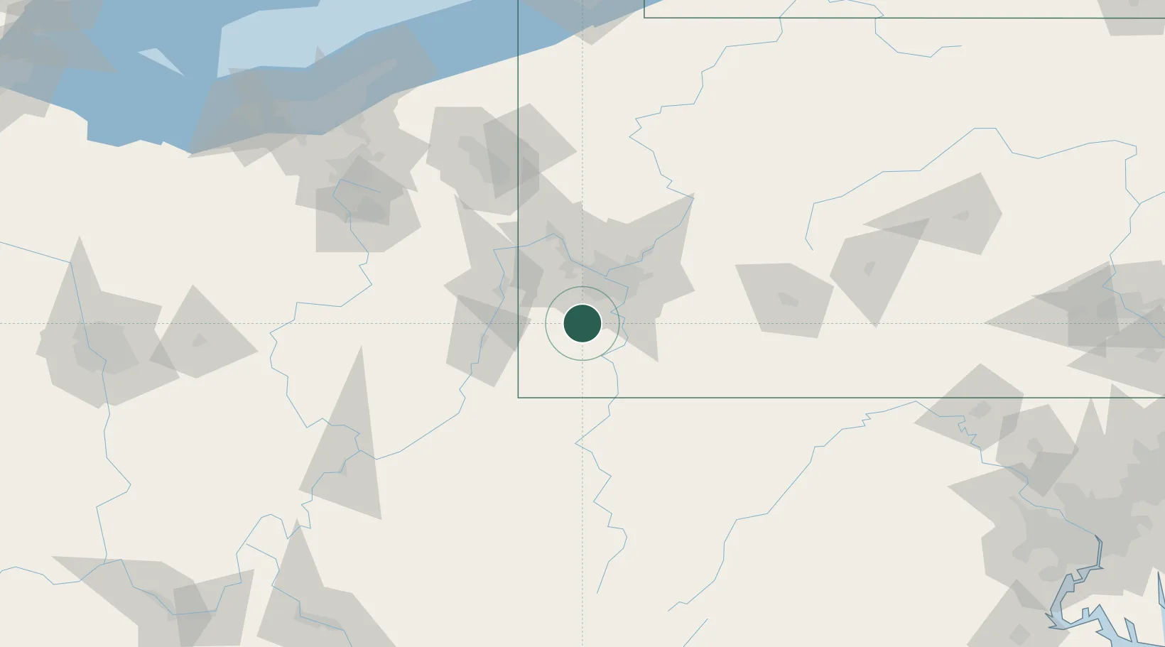
40.1667°, -80.1333°
657
Population
2
Transport functions
Transport Functions
Rail
Road
Hub Profile
Place type
Populated place
Region
Pennsylvania
Population
657
Time zone
America/New_York
Elevation
314 m
Location
Nearby Logistics Neighbours
Cities
- 1Point Lookout12 km
- 2Bentleyville13 km
- 3Cecil17 km
- 4Bunola17 km
- 5Cuddy19 km
Airports
Trade Zones
- 1FTZ No. 033 Pittsburgh30 km
- 2FTZ No. 295 Central Pennsylvania159 km
- 3FTZ No. 181 Akron Canton162 km
- 4FTZ No. 254 Jefferson County183 km
- 5FTZ No. 240 Martinsburg198 km
DatabookThe Record of Consolidated Knowledge
United States beyond logistics?