Transport Functions
Road
Multimodal
Hub Profile
Place type
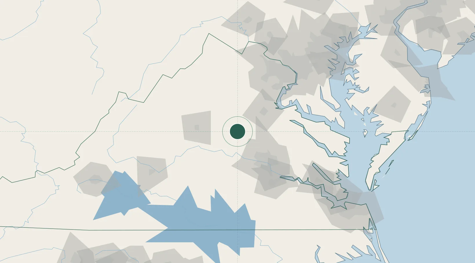
Populated place
Region
Virginia
Population
483
Time zone
America/New_York
Elevation
140 m
Location
Nearby Logistics Neighbours
Cities
- 1Trevilians16 km
- 2Hadensville22 km
- 3Wilmington31 km
- 4Troy31 km
- 5Parker34 km
Ports
- 1Fredericksburg52 km
- 2Richmond67 km
- 3West Point110 km
- 4Alexandria117 km
- 5Piney Point121 km
Airports
Trade Zones
DatabookThe Record of Consolidated Knowledge
United States beyond logistics?