UN/LOCODE hub · United States
USAGR
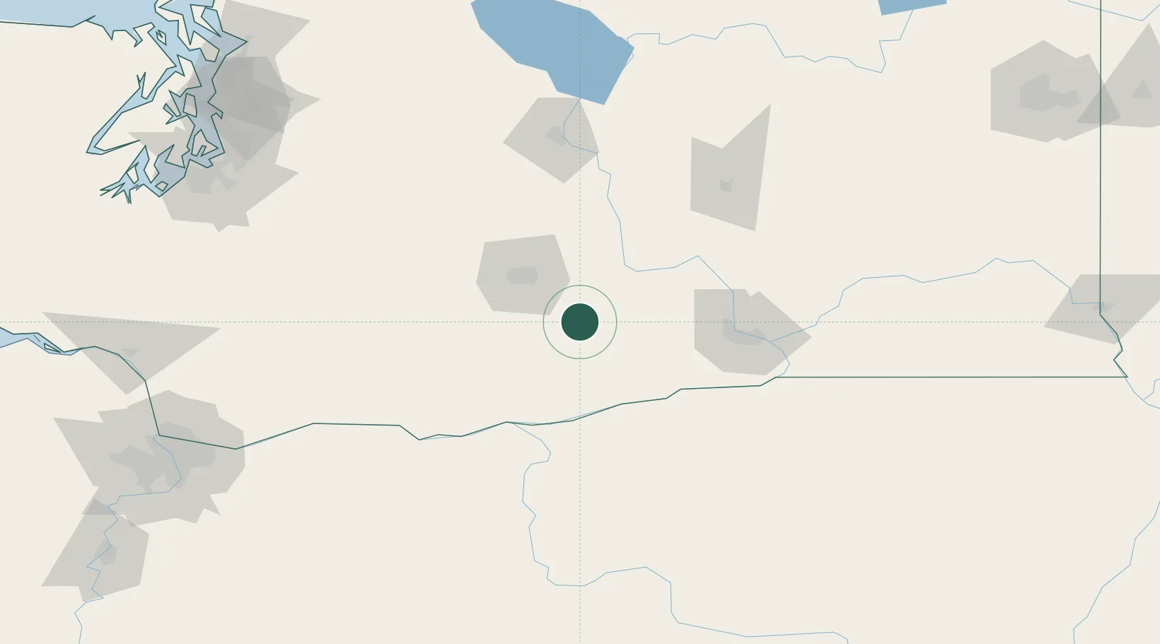
Granger
46.3333°, -120.1833°
3,695
Population
3
Transport functions
Transport Functions
Rail
Road
Multimodal
Hub Profile
Place type
Populated place
Region
Washington
Population
3,695
Time zone
America/Los_Angeles
Elevation
223 m
Location
Nearby Logistics Neighbours
Cities
- 1Outlook8 km
- 2Mabton21 km
- 3Harrah28 km
- 4Moxee City28 km
- 5Union Gap32 km
Ports
- 1The Dalles112 km
- 2Washougal187 km
- 3Camas191 km
- 4Tacoma200 km
- 5Vancouver208 km
Airports
Trade Zones
- 1FTZ No. 203 Moses Lake110 km
- 2FTZ No. 086 Tacoma199 km
- 3FTZ No. 212 Tacoma205 km
- 4FTZ No. 296 Vancouver208 km
- 5FTZ No. 120 Cowlitz County219 km
DatabookThe Record of Consolidated Knowledge
United States beyond logistics?