UN/LOCODE hub · United States
USZRH
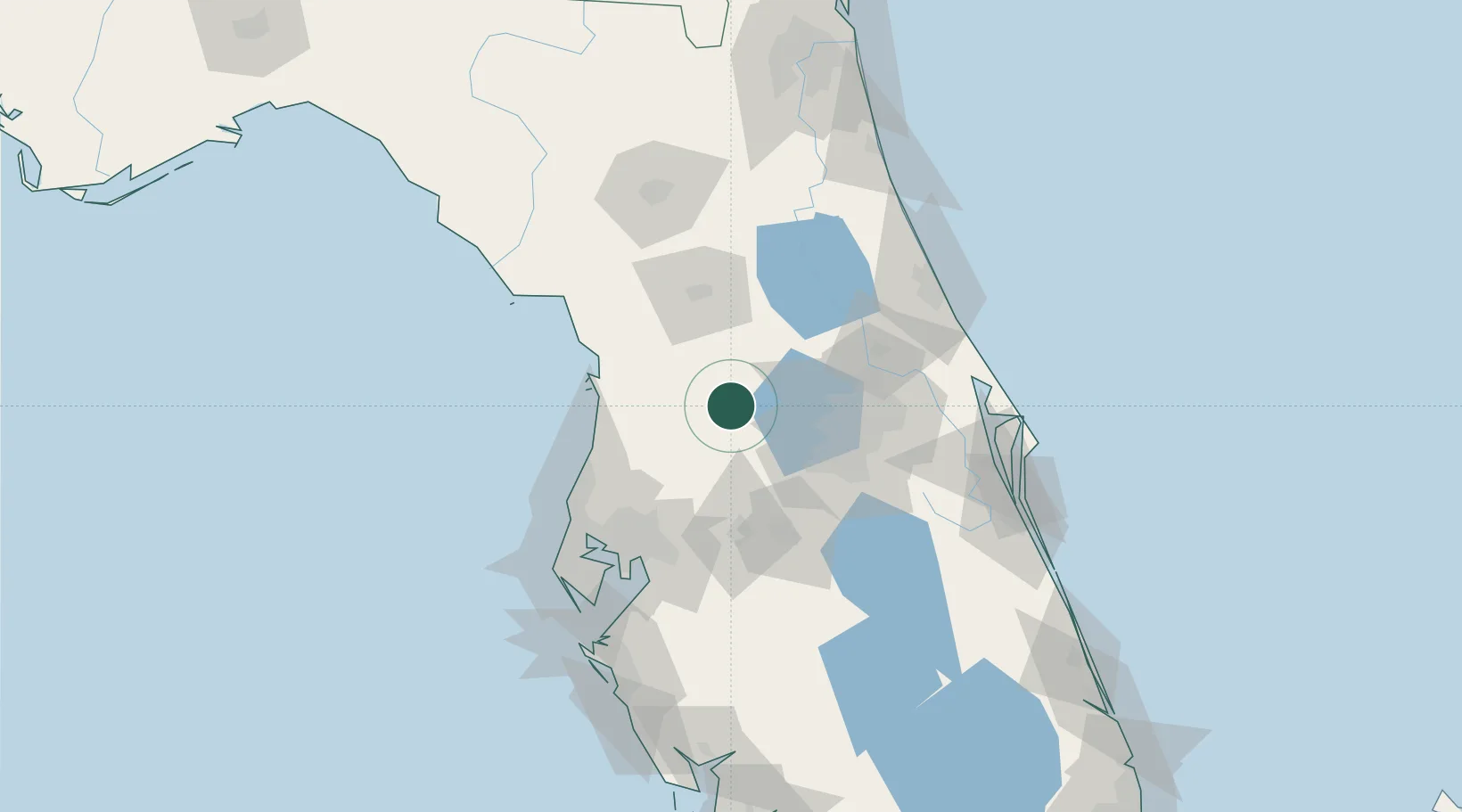
Center Hill
28.6500°, -82.0000°
1,194
Population
2
Transport functions
Transport Functions
Port
Road
Hub Profile
Place type
Populated place
Region
Florida
Population
1,194
Time zone
America/New_York
Elevation
30 m
Location
Nearby Logistics Neighbours
Cities
- 1Webster7 km
- 2Bushnell10 km
- 3Sumterville11 km
- 4Mascotte15 km
- 5Hawthorne17 km
Ports
- 1Tampa93 km
- 2Tarpon Springs93 km
- 3Sankt-Peterburg115 km
- 4Port Manatee126 km
- 5Canaveral Harbor135 km
Airports
Trade Zones
- 1FTZ No. 042 Orlando52 km
- 2FTZ No. 250 Seminole County63 km
- 3FTZ No. 198 Volusia County68 km
- 4FTZ No. 136 Brevard County83 km
- 5FTZ No. 079 Tampa89 km
DatabookThe Record of Consolidated Knowledge
United States beyond logistics?