UN/LOCODE hub · United States
USUMV

Sumterville

28.7333°, -82.0500°
2
Transport functions

Transport Functions

Rail
Road
UN/LOCODE

Hub Profile

Place type
Populated place
GeoNames
Region
Florida
GeoNames
Time zone
America/New_York
GeoNames
Elevation
23 m
GeoNames

Location

Location of USUMV
Natural Earth 10m (public domain) · Florida · USUMV · 28.73, -82.05GoogleOSMYandex

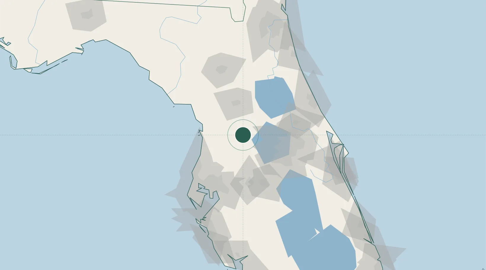
Nearby Logistics Neighbours

Cities
  1. 1Bushnell11 km
  2. 2Center Hill11 km
  3. 3Webster15 km
  4. 4Hawthorne18 km
  5. 5Fruitland Park20 km
Nearest neighbours — logibook spatial index (haversine) over the source coordinates
Ports
  1. 1Tarpon Springs96 km
  2. 2Tampa99 km
  3. 3Sankt-Peterburg121 km
  4. 4Port Manatee132 km
  5. 5Canaveral Harbor140 km
Nearest neighbours — logibook spatial index (haversine) over the source coordinates
Airports
  1. 1Leesburg International Airport26 km
  2. 2Orlando Executive Airport73 km
  3. 3Kissimmee Gateway Airport78 km
  4. 4Orlando Sanford International Airport80 km
  5. 5Orlando International Airport80 km
Nearest neighbours — logibook spatial index (haversine) over the source coordinates
Trade Zones
  1. 1FTZ No. 042 Orlando60 km
  2. 2FTZ No. 198 Volusia County67 km
  3. 3FTZ No. 250 Seminole County67 km
  4. 4FTZ No. 136 Brevard County92 km
  5. 5FTZ No. 079 Tampa95 km
Nearest neighbours — logibook spatial index (haversine) over the source coordinates
DatabookThe Record of Consolidated Knowledge
United States beyond logistics?
Browse databook

All Sources

LocationsUN/LOCODE
UN/LOCODE — free
Portsthe NGA World Port Index
Public domain (US gov)
AirportsOurAirports
Public domain
Trade Zonesthe World Bank SEZ database
CC BY 4.0
Trade ZonesOpen Zone Map
CC BY
← United States locations