Transport Functions
Rail
Road
Multimodal
Hub Profile
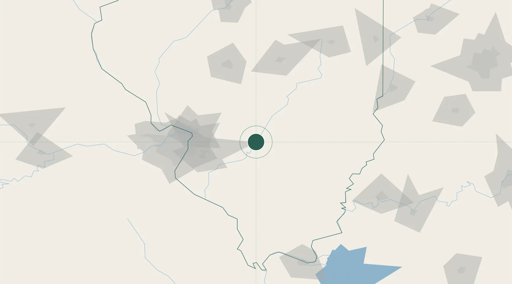
Place type
Populated place
Region
Illinois
Population
401
Time zone
America/Chicago
Elevation
138 m
Location
Nearby Logistics Neighbours
Cities
- 1Vernon18 km
- 2Sandoval18 km
- 3Union, Neshaboa23 km
- 4Germantown31 km
- 5Ashley47 km
Ports
- 1Gary360 km
- 2Indiana Harbor361 km
- 3Calumet Harbor365 km
- 4Chicago378 km
- 5Michigan City389 km
Airports
Trade Zones
- 1FTZ No. 031 Granite City81 km
- 2FTZ No. 102 St. Louis County125 km
- 3FTZ No. 245 Decatur126 km
- 4FTZ No. 177 Evansville166 km
- 5FTZ No. 294 Western Kentucky195 km
DatabookThe Record of Consolidated Knowledge
United States beyond logistics?