UN/LOCODE hub · United States
USGEA
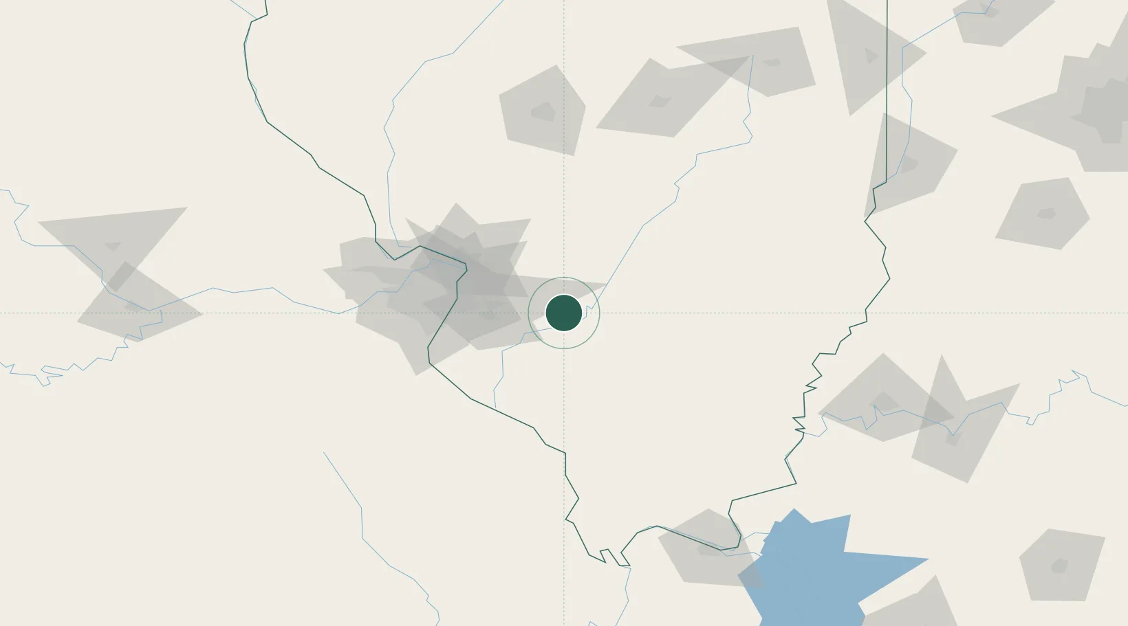
Germantown
38.5500°, -89.5333°
1,285
Population
3
Transport functions
Transport Functions
Rail
Road
Multimodal
Hub Profile
Place type
Populated place
Region
Illinois
Population
1,285
Time zone
America/Chicago
Elevation
131 m
Location
Nearby Logistics Neighbours
Cities
- 1Mascoutah23 km
- 2Lebanon24 km
- 3Scott Air Force Base29 km
- 4Fayetteville30 km
- 5Keyesport31 km
Ports
- 1Gary389 km
- 2Indiana Harbor390 km
- 3Port Of Memphis391 km
- 4Calumet Harbor393 km
- 5Chicago405 km
Airports
Trade Zones
- 1FTZ No. 031 Granite City62 km
- 2FTZ No. 102 St. Louis County103 km
- 3FTZ No. 245 Decatur151 km
- 4FTZ No. 177 Evansville179 km
- 5FTZ No. 294 Western Kentucky185 km
DatabookThe Record of Consolidated Knowledge
United States beyond logistics?