UN/LOCODE hub · United States
USZGA
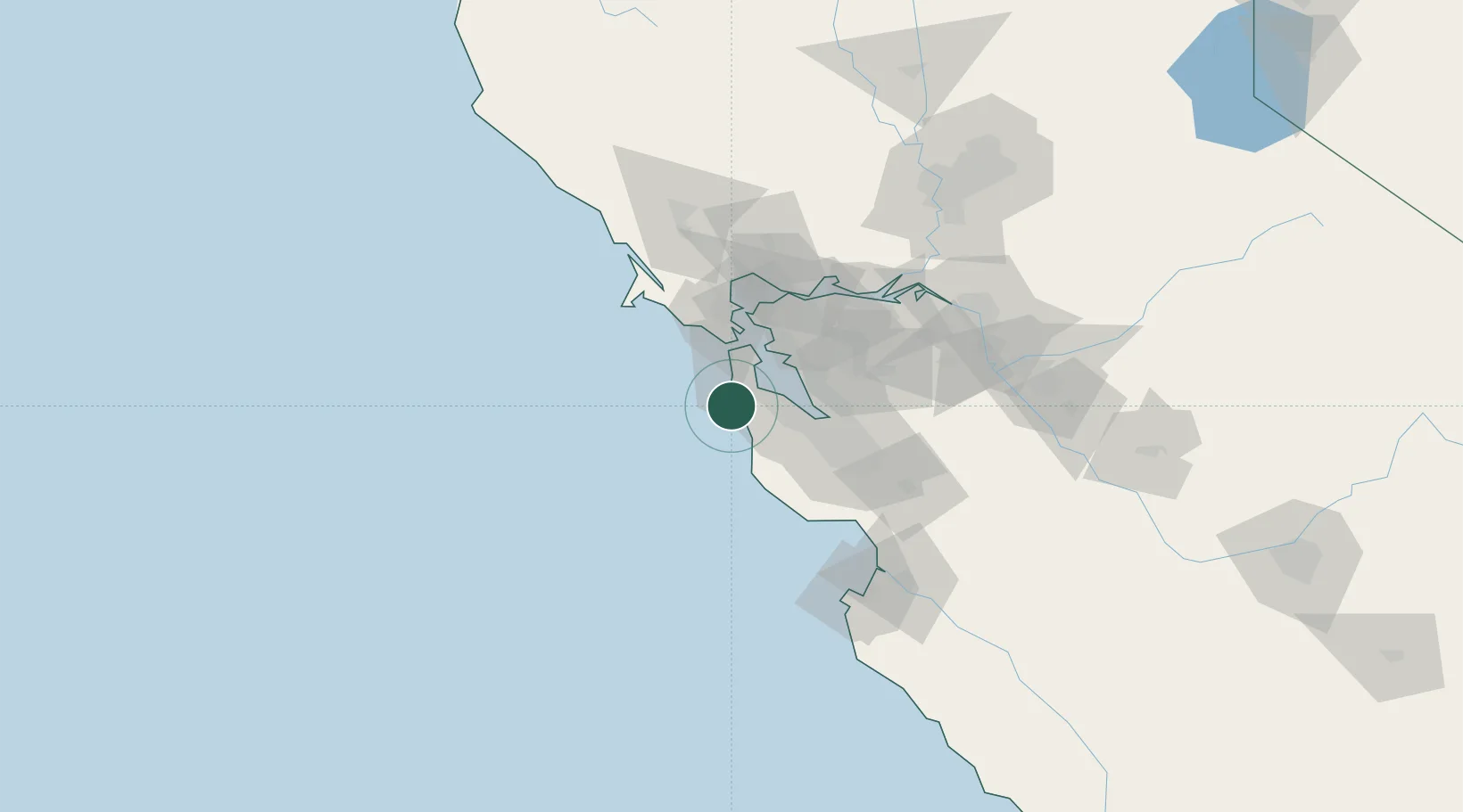
Moss Beach
37.5167°, -122.5000°
3,103
Population
1
Transport functions
Transport Functions
Multimodal
Hub Profile
Place type
Populated place
Region
California
Population
3,103
Time zone
America/Los_Angeles
Elevation
19 m
Location
Nearby Logistics Neighbours
Cities
- 1Woodside23 km
- 2Portola Valley28 km
- 3San Francisco31 km
- 4Alameda36 km
- 5Hayward37 km
Ports
- 1Redwood City27 km
- 2San Francisco34 km
- 3Alameda36 km
- 4Oakland36 km
- 5Sausalito37 km
Airports
Trade Zones
- 1FTZ No. 003 San Francisco33 km
- 2FTZ No. 056 Oakland38 km
- 3FTZ No. 018 San Jose58 km
- 4FTZ No. 231 Stockton114 km
- 5FTZ No. 143 West Sacramento146 km
DatabookThe Record of Consolidated Knowledge
United States beyond logistics?