Transport Functions
Rail
Road
Multimodal
Hub Profile
Place type
Provincial seat
Region
Tennessee
Population
5,108
Time zone
America/Chicago
Elevation
217 m
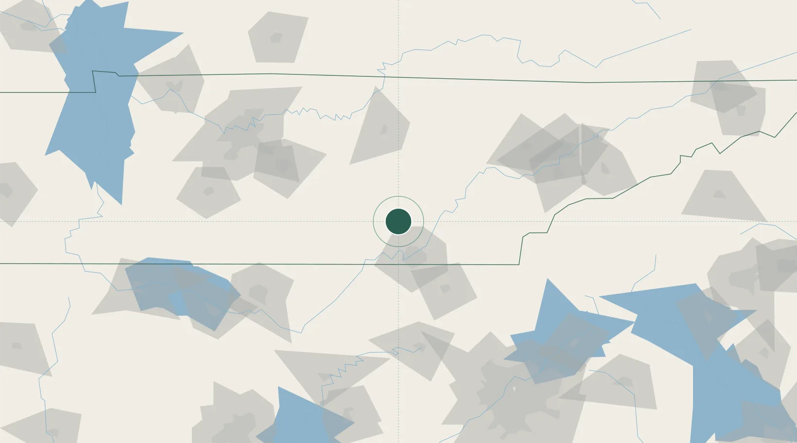
Location
Nearby Logistics Neighbours
Cities
- 1Soddy-Daisy23 km
- 2Sale Creek26 km
- 3Chattanooga36 km
- 4Georgetown42 km
- 5Lookout Mountain43 km
Ports
- 1Savannah540 km
- 2Beaufort544 km
- 3Port Royal547 km
- 4Darien576 km
- 5Pensacola578 km
Airports
Trade Zones
- 1FTZ No. 134 Chattanooga30 km
- 2FTZ No. 148 Knoxville125 km
- 3FTZ No. 083 Huntsville149 km
- 4FTZ No. 270 Lawrence County161 km
- 5FTZ No. 265 Conroe (Montgomery County)163 km
DatabookThe Record of Consolidated Knowledge
United States beyond logistics?