Medium airport · United States
Page FieldKFMY
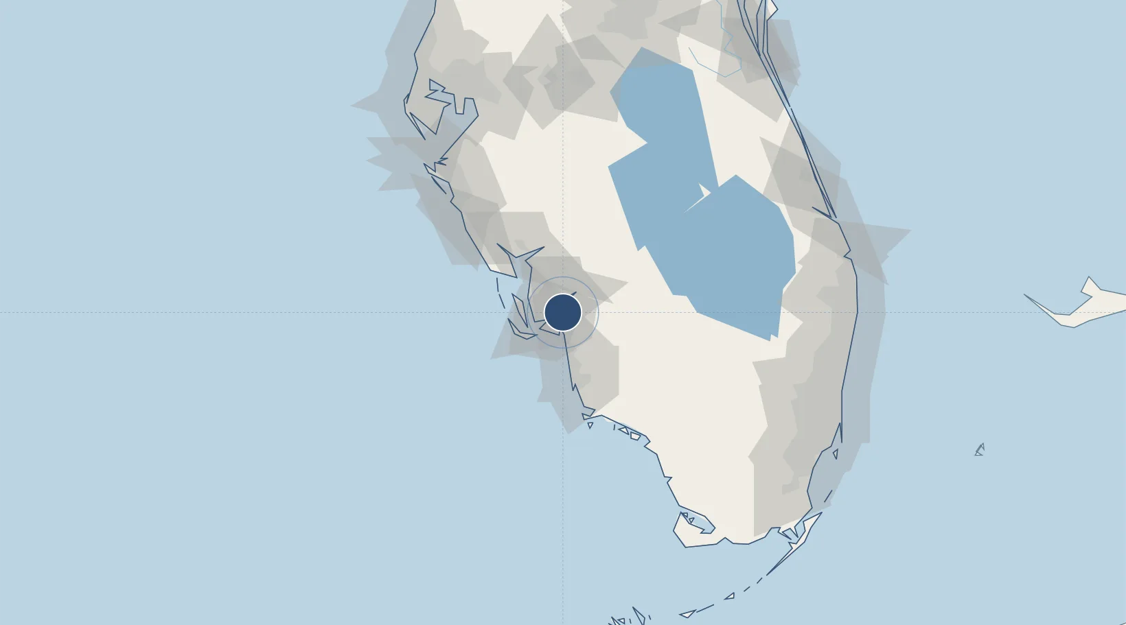
26.5866°, -81.8633°
6,406 ft
Longest runway
2
Runways
17 ft
Elevation
Runway & Layout

Radio Frequencies
ATIS
123.725 MHz
TWR
119 MHz
GND
121.7 MHz
CLD
121.7 MHz
CLNC DEL
CTAF
119 MHz
A/D
126.8 MHz
FORT MYERS APP/DEP
RDO
122.2 MHz
MIAMI RDO
UNIC
130.55 MHz
UNICOM
Runways · 2
| Runway | Dimensions | Surface | True heading | Lit |
|---|---|---|---|---|
| 05/23 | 6,406 × 150ft | Asphalt | 048° | ✓ |
| 13/31 | 4,910 × 150ft | Asphalt | 130° | ✓ |
Airport Specifications
IATA code
FMY
ICAO code
KFMY
Airport class
Medium airport
Scheduled service
No
Runway surface
Asphalt
Served city
Fort Myers
Location
Nearby Logistics Neighbours
Airports
Cities
- 1Cape Coral9 km
- 2Estero18 km
- 3Saint James City25 km
- 4Lehigh Acres25 km
- 5Bokeelia31 km
Ports
- 1Boca Grande48 km
- 2Port Manatee136 km
- 3Sankt-Peterburg151 km
- 4Tampa159 km
- 5Palm Beach181 km
Trade Zones
- 1FTZ No. 213 Fort Myers5 km
- 2FTZ No. 215 Sebring104 km
- 3FTZ No. 169 Manatee County126 km
- 4FTZ No. 218 St. Lucie County157 km
- 5FTZ No. 281 Miami-Dade County160 km
DatabookThe Record of Consolidated Knowledge
United States beyond logistics?