Transport Functions
Port
Road
Airport
Hub Profile
Place type
Populated place
Region
Florida
Time zone
America/New_York
Elevation
1 m
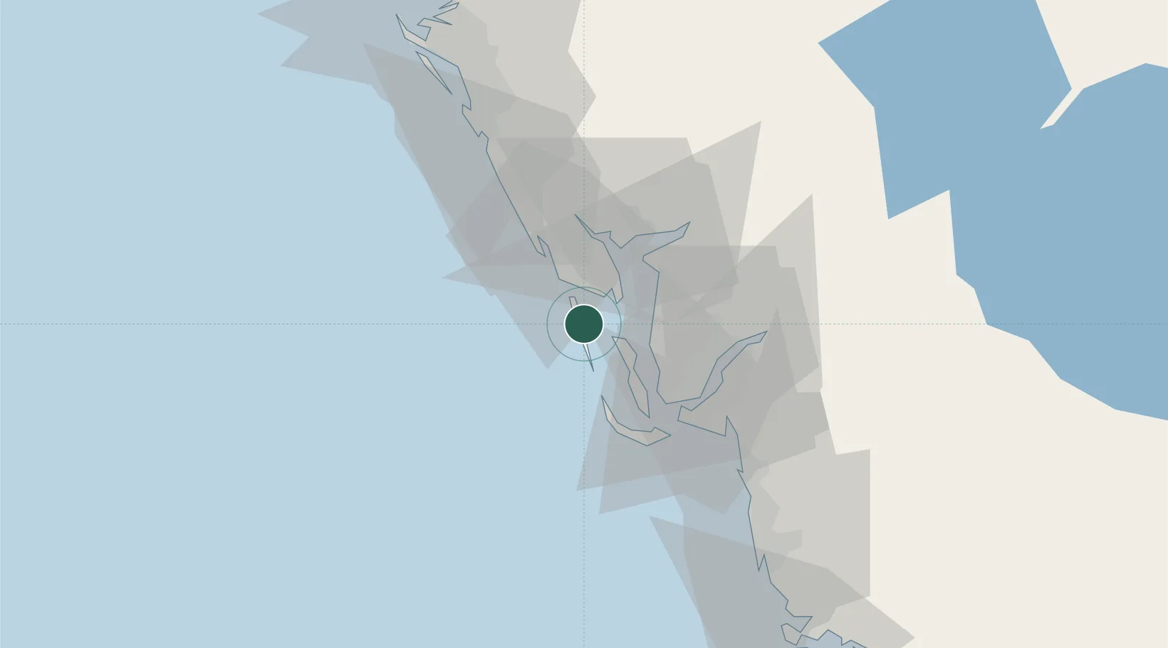
Location
Nearby Logistics Neighbours
Cities
- 1Bokeelia11 km
- 2Placida11 km
- 3Captiva25 km
- 4Englewood26 km
- 5Saint James City32 km
Ports
- 1Port Manatee105 km
- 2Sankt-Peterburg121 km
- 3Tampa133 km
- 4Tarpon Springs166 km
- 5Fort Pierce208 km
Airports
Trade Zones
- 1FTZ No. 213 Fort Myers37 km
- 2FTZ No. 169 Manatee County90 km
- 3FTZ No. 215 Sebring109 km
- 4FTZ No. 079 Tampa137 km
- 5FTZ No. 193 Pinellas County160 km
DatabookThe Record of Consolidated Knowledge
United States beyond logistics?