UN/LOCODE hub · United States
US4CP

Captiva

26.5167°, -82.1833°
583
Population
2
Transport functions

Transport Functions

Port
Multimodal
UN/LOCODE

Hub Profile

Place type
Populated place
GeoNames
Region
Florida
GeoNames
Population
583
GeoNames
Time zone
America/New_York
GeoNames
Elevation
0 m
GeoNames

Location

Location of US4CP
Natural Earth 10m (public domain) · Florida · US4CP · 26.52, -82.18GoogleOSMYandex

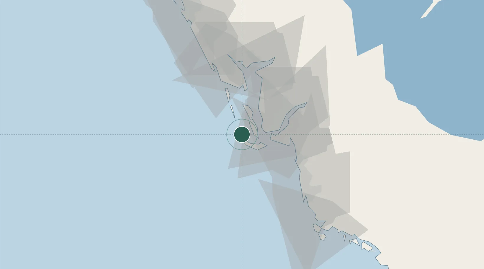
Nearby Logistics Neighbours

Cities
  1. 1Saint James City11 km
  2. 2Bokeelia21 km
  3. 3Cape Coral24 km
  4. 4Boca Grande25 km
  5. 5Placida36 km
Nearest neighbours — logibook spatial index (haversine) over the source coordinates
Ports
  1. 1Boca Grande25 km
  2. 2Port Manatee130 km
  3. 3Sankt-Peterburg146 km
  4. 4Tampa158 km
  5. 5Tarpon Springs191 km
Nearest neighbours — logibook spatial index (haversine) over the source coordinates
Airports
  1. 1Page Field33 km
  2. 2Southwest Florida International Airport43 km
  3. 3Punta Gorda Airport49 km
  4. 4Naples Municipal Airport57 km
  5. 5Sarasota Bradenton International Airport104 km
Nearest neighbours — logibook spatial index (haversine) over the source coordinates
Trade Zones
  1. 1FTZ No. 213 Fort Myers30 km
  2. 2FTZ No. 169 Manatee County114 km
  3. 3FTZ No. 215 Sebring124 km
  4. 4FTZ No. 079 Tampa162 km
  5. 5FTZ No. 281 Miami-Dade County179 km
Nearest neighbours — logibook spatial index (haversine) over the source coordinates
DatabookThe Record of Consolidated Knowledge
United States beyond logistics?
Browse databook

All Sources

LocationsUN/LOCODE
UN/LOCODE — free
LocationsGeoNames
CC BY 4.0
Portsthe NGA World Port Index
Public domain (US gov)
AirportsOurAirports
Public domain
Trade Zonesthe World Bank SEZ database
CC BY 4.0
Trade ZonesOpen Zone Map
CC BY
← United States locations