Large airport · United States
Southwest Florida International AirportKRSW
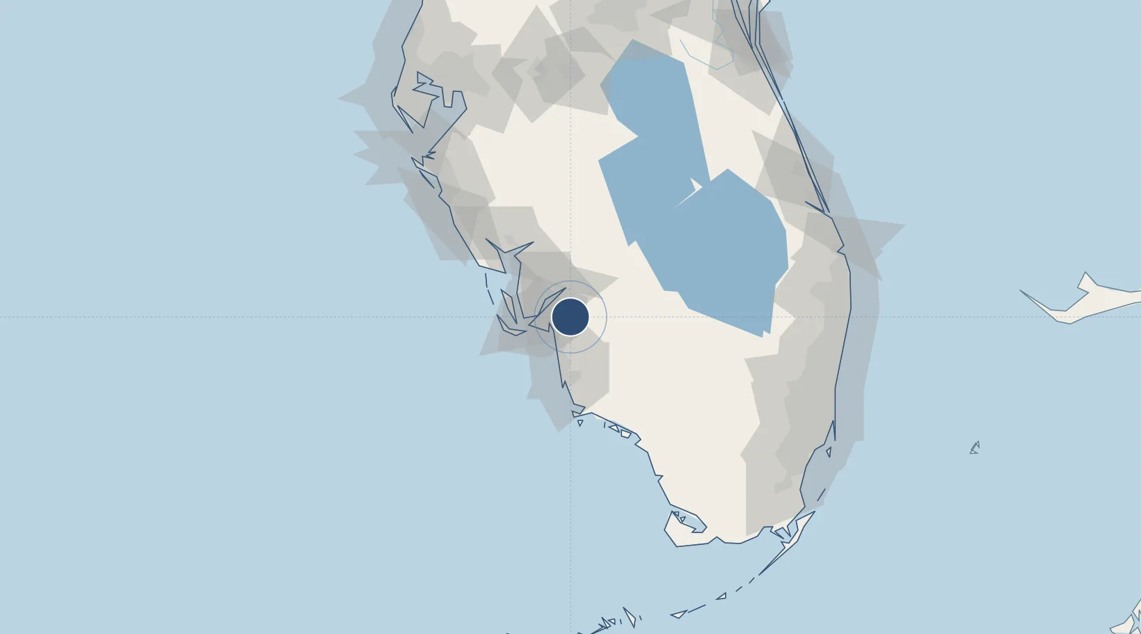
26.5347°, -81.7528°
12,000 ft
Longest runway
1
Runways
30 ft
Elevation
Runway & Layout

Radio Frequencies
ATIS
124.65 MHz
TWR
128.75 MHz
FORT MYERS TWR
GND
121.9 MHz
CLD
132.075 MHz
CLNC DEL
A/D
119.75 MHz
FORT MYERS APP/DEP
UNIC
122.95 MHz
CTAF/UNICOM
Navaids
RS NDB Muffe 336 kHz
Runways · 1
| Runway | Dimensions | Surface | True heading | Lit |
|---|---|---|---|---|
| 06/24 | 12,000 × 150ft | Asphalt | 054° | ✓ |
Airport Specifications
IATA code
RSW
ICAO code
KRSW
Airport class
Large airport
Scheduled service
Yes
Runway surface
Asphalt
Served city
Fort Myers
Location
Nearby Logistics Neighbours
Airports
- 1Page Field12 km
- 2Naples Municipal Airport43 km
- 3Punta Gorda Airport49 km
- 4Sarasota Bradenton International Airport124 km
- 5Fort Lauderdale Executive Airport162 km
Cities
- 1Estero13 km
- 2Lehigh Acres16 km
- 3Cape Coral20 km
- 4Felda32 km
- 5Saint James City33 km
Ports
- 1Boca Grande61 km
- 2Port Manatee146 km
- 3Sankt-Peterburg162 km
- 4Tampa168 km
- 5Port Everglades170 km
Trade Zones
- 1FTZ No. 213 Fort Myers18 km
- 2FTZ No. 215 Sebring106 km
- 3FTZ No. 169 Manatee County138 km
- 4FTZ No. 281 Miami-Dade County149 km
- 5FTZ No. 218 St. Lucie County152 km
DatabookThe Record of Consolidated Knowledge
United States beyond logistics?