UN/LOCODE hub · United States
USBK5
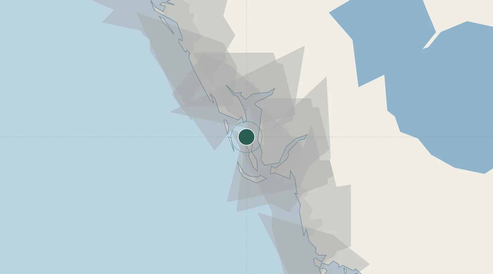
Bokeelia
26.7000°, -82.1500°
1,780
Population
1
Transport functions
Transport Functions
Multimodal
Hub Profile
Place type
Populated place
Region
Florida
Population
1,780
Time zone
America/New_York
Elevation
0 m
Location
Nearby Logistics Neighbours
Cities
- 1Boca Grande11 km
- 2Placida19 km
- 3Captiva21 km
- 4Cape Coral25 km
- 5Saint James City25 km
Ports
- 1Boca Grande18 km
- 2Port Manatee112 km
- 3Sankt-Peterburg127 km
- 4Tampa139 km
- 5Tarpon Springs172 km
Airports
Trade Zones
- 1FTZ No. 213 Fort Myers26 km
- 2FTZ No. 169 Manatee County99 km
- 3FTZ No. 215 Sebring106 km
- 4FTZ No. 079 Tampa142 km
- 5FTZ No. 193 Pinellas County167 km
DatabookThe Record of Consolidated Knowledge
United States beyond logistics?