Transport Functions
Rail
Road
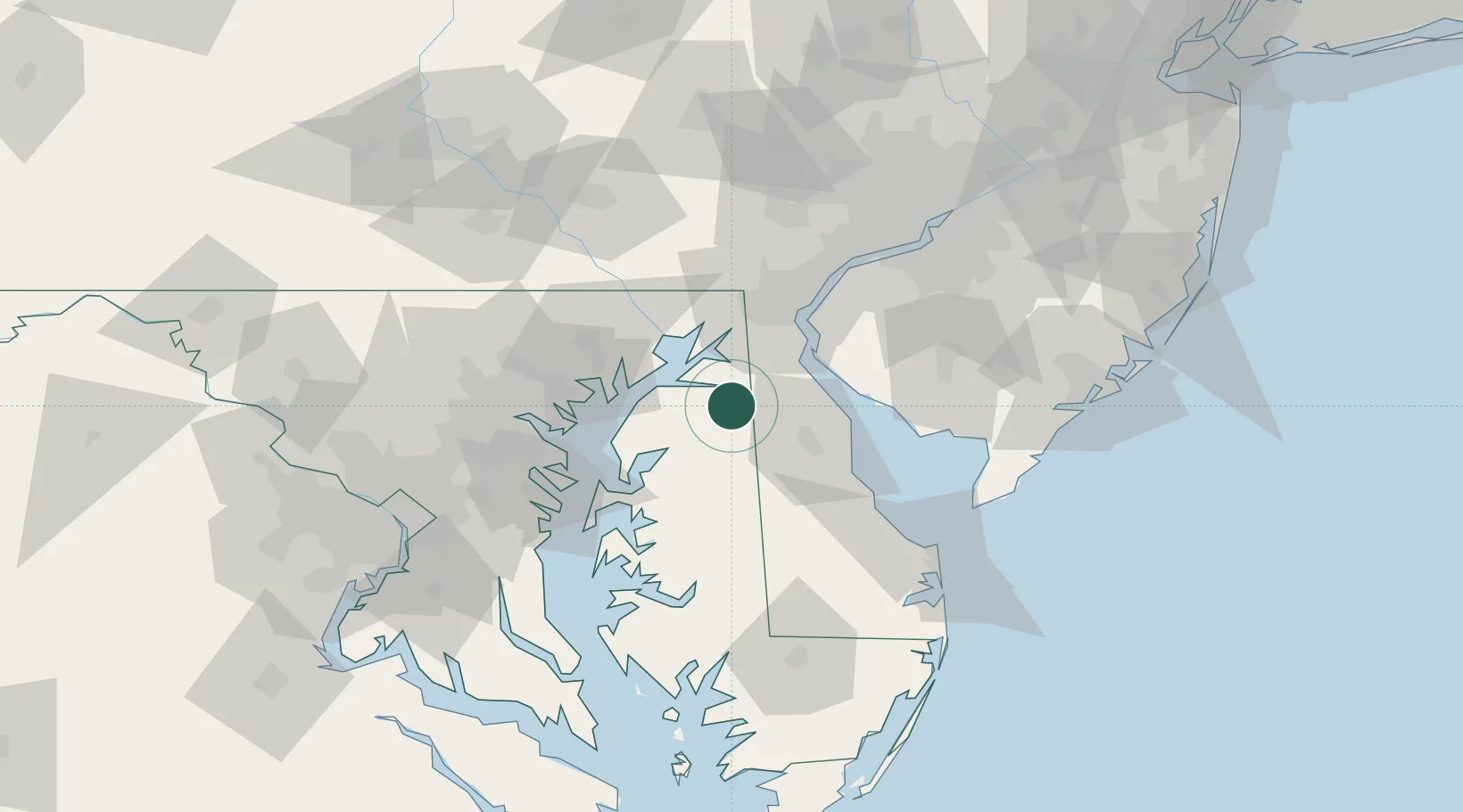
Hub Profile
Place type
Populated place
Region
Maryland
Time zone
America/New_York
Elevation
20 m
Location
Nearby Logistics Neighbours
Cities
- 1Kennedyville14 km
- 2Barclay19 km
- 3Odessa23 km
- 4Chesapeake City24 km
- 5Wyoming31 km
Ports
- 1Havre De Grace34 km
- 2New Castle45 km
- 3Salem Nj51 km
- 4Deepwater Point52 km
- 5Wilmington54 km
Airports
Trade Zones
- 1FTZ No. 099 Wilmington55 km
- 2FTZ No. 142 Salem Millville62 km
- 3FTZ No. 074 Baltimore66 km
- 4FTZ No. 073 BWI Airport73 km
- 5FTZ No. 035 Philadelphia92 km
DatabookThe Record of Consolidated Knowledge
United States beyond logistics?