Transport Functions
Rail
Road
Hub Profile
Place type
Populated place
Region
New Jersey
Time zone
America/New_York
Elevation
137 m
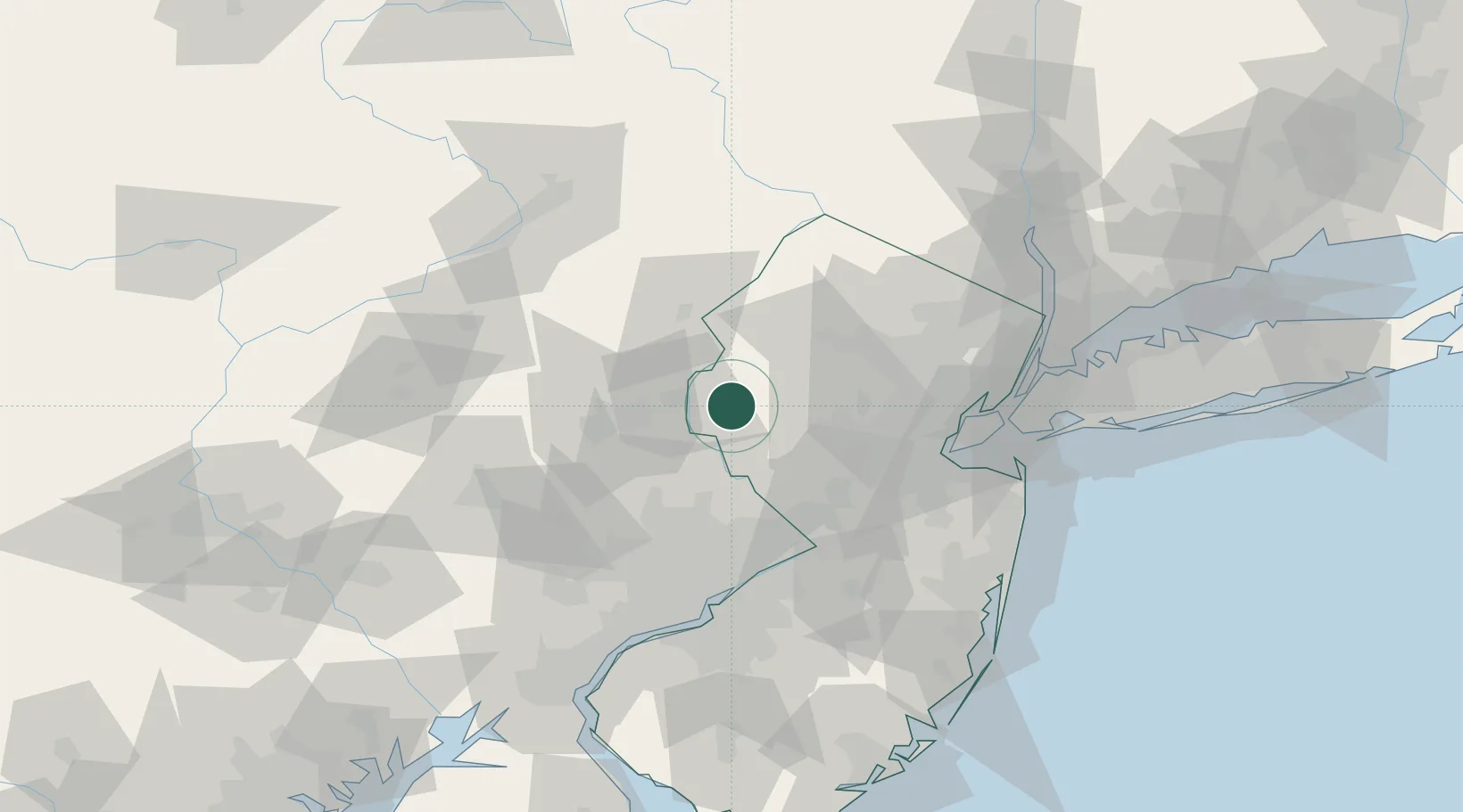
Location
Nearby Logistics Neighbours
Cities
- 1Alpha10 km
- 2Washington12 km
- 3Frenchtown17 km
- 4Port Murray17 km
- 5Clarksburg19 km
Ports
- 1Trenton57 km
- 2Sayreville61 km
- 3Bristol65 km
- 4Burlington66 km
- 5Perth Amboy67 km
Airports
Trade Zones
DatabookThe Record of Consolidated Knowledge
United States beyond logistics?