Transport Functions
Port
Rail
Road
Multimodal
Postal
Hub Profile
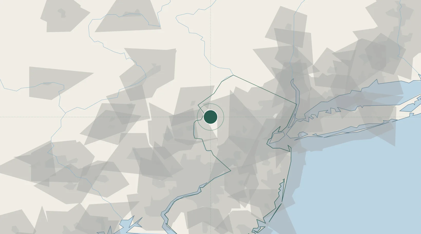
Place type
Populated place
Region
New Jersey
Time zone
America/New_York
Elevation
57 m
Location
Nearby Logistics Neighbours
Cities
- 1Washington7 km
- 2Port Murray9 km
- 3Vienna9 km
- 4Mount Bethel12 km
- 5Portland13 km
Ports
- 1Sayreville66 km
- 2Sewaren69 km
- 3Bayway70 km
- 4Port Reading70 km
- 5Carteret70 km
Airports
Trade Zones
DatabookThe Record of Consolidated Knowledge
United States beyond logistics?