Channel & Berth Profile
Pilotage, Tugs & Services
Pilotage compulsoryYES
Shore powerYES
Potable waterYES
Diesel bunkersYES
MedicalYES
Facilities & Capabilities
Container—
Ro-Ro—
Liquid bulk—
Dry bulk—
Oil terminal—
Break bulk—
Dry dock—
RepairsNO
BunkeringYES
Rail linkYES
Dangerous cargo—
ISPS security—
Harbour Specifications
Harbour size
Very Small
Harbour type
River (Natural)
Shelter
Excellent
Water body
North Atlantic Ocean
Tidal range
2.1 m
Overhead limit
Yes
Pilotage
Yes
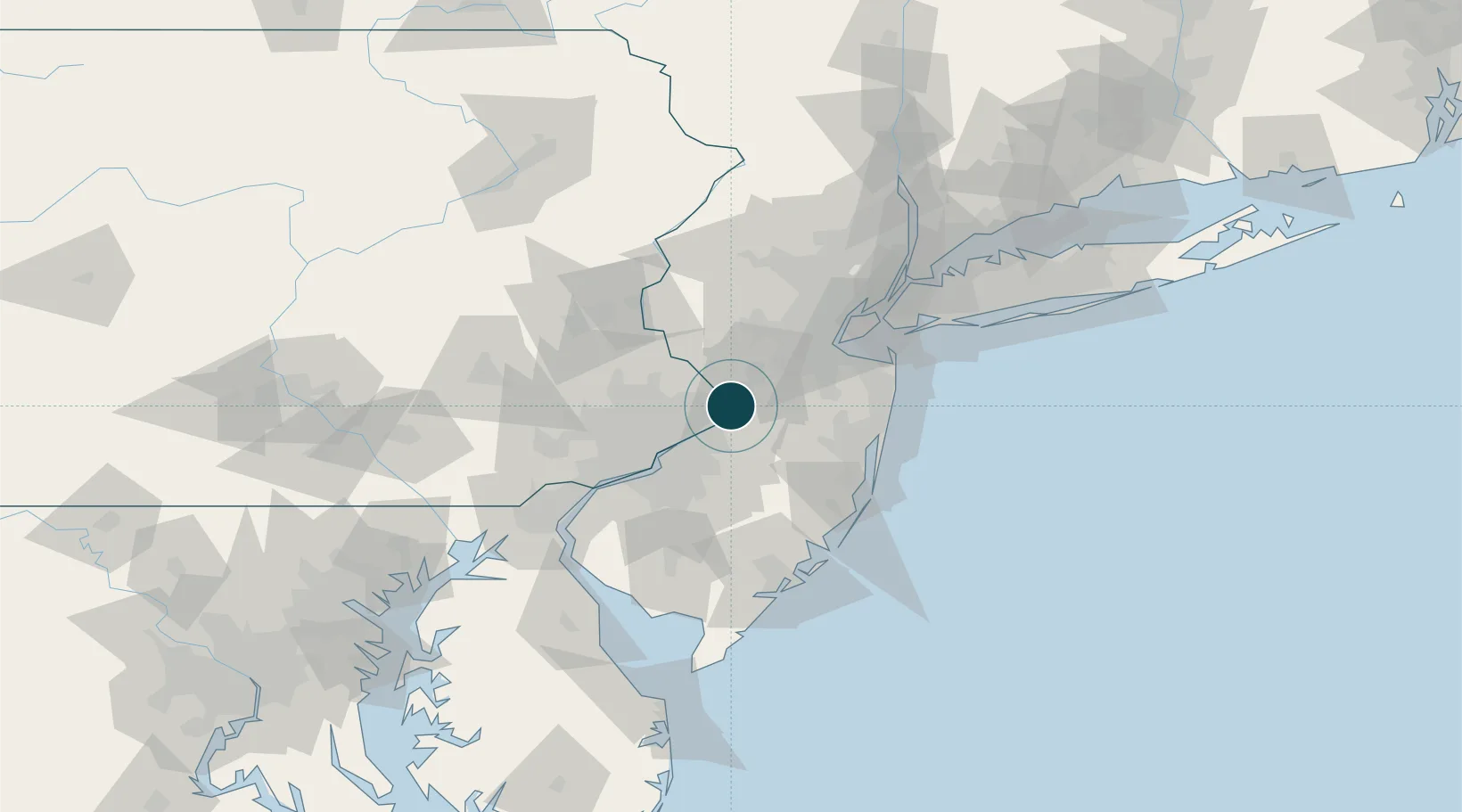
Location
Nearby Logistics Neighbours
Ports
- 1Bristol13 km
- 2Burlington16 km
- 3Philadelphia42 km
- 4Camden42 km
- 5Sayreville45 km
Cities
- 1Rosemont8 km
- 2Ewing8 km
- 3Yardley9 km
- 4Hamilton Square9 km
- 5Millstone Township12 km
Airports
Trade Zones
DatabookThe Record of Consolidated Knowledge
United States beyond logistics?