Channel & Berth Profile
Pilotage, Tugs & Services
Pilotage compulsoryYES
Tug assistanceYES
MedicalYES
Facilities & Capabilities
Container—
Ro-Ro—
Liquid bulk—
Dry bulk—
Oil terminal—
Break bulk—
Dry dock—
Repairs—
Bunkering—
Rail linkYES
Dangerous cargo—
ISPS security—
Harbour Specifications
Harbour size
Very Small
Harbour type
River (Natural)
Shelter
Excellent
Water body
North Atlantic Ocean
Tidal range
1.8 m
Overhead limit
Yes
Pilotage
Yes
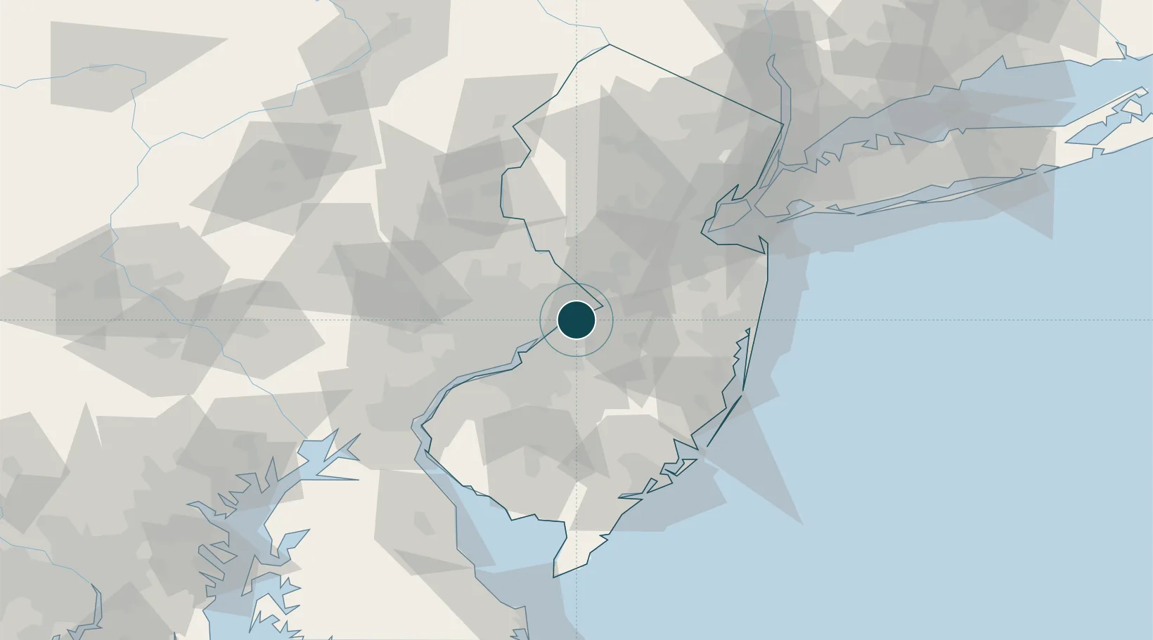
Location
Nearby Logistics Neighbours
Ports
- 1Burlington2 km
- 2Trenton13 km
- 3Philadelphia29 km
- 4Camden29 km
- 5Gloucester33 km
Cities
- 1Newportville5 km
- 2Westampton9 km
- 3Rancocas11 km
- 4Columbus12 km
- 5Clermont15 km
Airports
Trade Zones
- 1FTZ No. 200 Mercer County20 km
- 2FTZ No. 035 Philadelphia36 km
- 3FTZ No. 235 Lakewood52 km
- 4FTZ No. 099 Wilmington71 km
- 5FTZ No. 142 Salem Millville82 km
DatabookThe Record of Consolidated Knowledge
United States beyond logistics?