Transport Functions
Rail
Road
Multimodal
Hub Profile
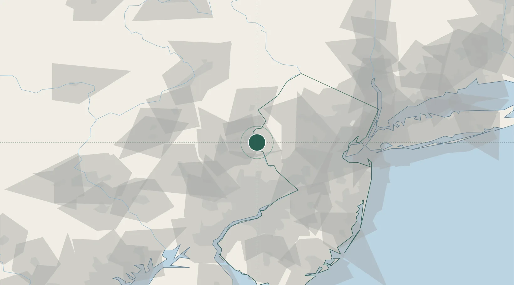
Place type
Populated place
Region
New Jersey
Population
2,303
Time zone
America/New_York
Elevation
97 m
Location
Nearby Logistics Neighbours
Cities
- 1West Portal10 km
- 2Bethlehem17 km
- 3Frenchtown17 km
- 4Washington19 km
- 5Ottsville20 km
Ports
- 1Trenton60 km
- 2Bristol66 km
- 3Burlington67 km
- 4Sayreville69 km
- 5Perth Amboy76 km
Airports
Trade Zones
DatabookThe Record of Consolidated Knowledge
United States beyond logistics?