UN/LOCODE hub · United States
USJWY
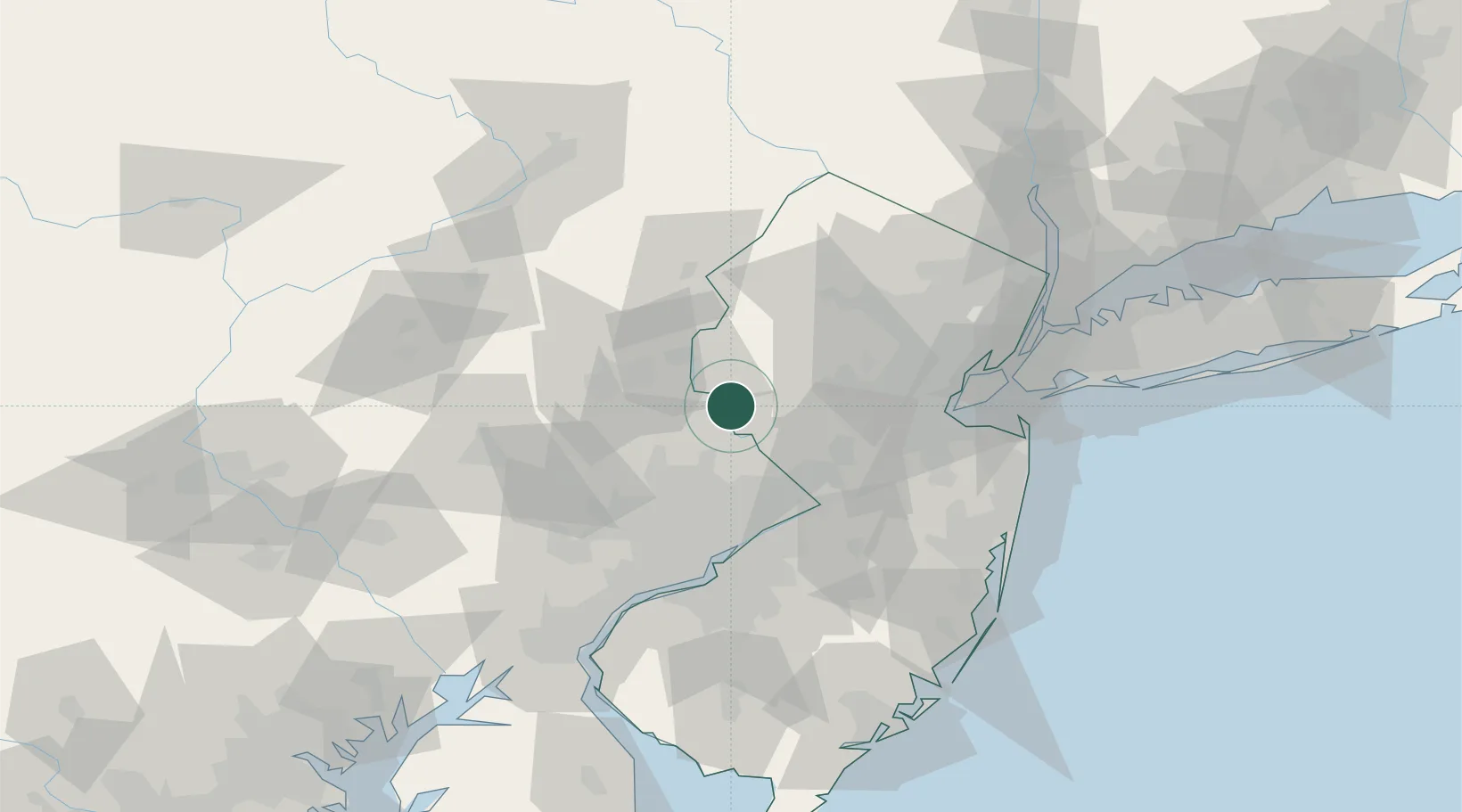
Frenchtown
40.5167°, -75.0500°
1,386
Population
3
Transport functions
Transport Functions
Port
Rail
Road
Hub Profile
Place type
Populated place
Region
New Jersey
Population
1,386
Time zone
America/New_York
Elevation
43 m
Location
Nearby Logistics Neighbours
Cities
- 1Ottsville11 km
- 2Stockton15 km
- 3West Portal17 km
- 4Alpha17 km
- 5Lahaska19 km
Ports
- 1Trenton43 km
- 2Bristol49 km
- 3Burlington51 km
- 4Sayreville58 km
- 5Philadelphia63 km
Airports
Trade Zones
DatabookThe Record of Consolidated Knowledge
United States beyond logistics?