UN/LOCODE hub · United States
USURR
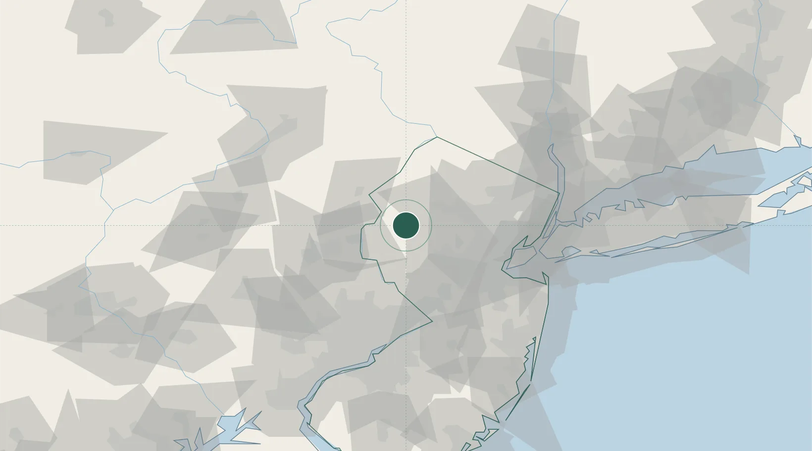
Port Murray
40.7833°, -74.9000°
129
Population
4
Transport functions
Transport Functions
Port
Rail
Road
Multimodal
Hub Profile
Place type
Populated place
Region
New Jersey
Population
129
Time zone
America/New_York
Elevation
182 m
Location
Nearby Logistics Neighbours
Cities
- 1Washington7 km
- 2Clarksburg9 km
- 3Vienna9 km
- 4West Portal17 km
- 5Potterstown19 km
Ports
- 1Sayreville57 km
- 2Sewaren61 km
- 3Port Reading61 km
- 4Bayway61 km
- 5Carteret62 km
Airports
Trade Zones
DatabookThe Record of Consolidated Knowledge
United States beyond logistics?