UN/LOCODE hub · United States
USWQY
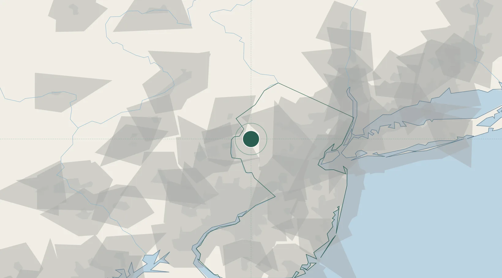
Washington
40.7667°, -74.9833°
6,498
Population
2
Transport functions
Transport Functions
Rail
Road
Hub Profile
Place type
Populated place
Region
New Jersey
Population
6,498
Time zone
America/New_York
Elevation
139 m
Location
Nearby Logistics Neighbours
Cities
- 1Port Murray7 km
- 2Clarksburg7 km
- 3West Portal12 km
- 4Vienna14 km
- 5Mount Bethel18 km
Ports
- 1Sayreville62 km
- 2Trenton66 km
- 3Sewaren66 km
- 4Port Reading67 km
- 5Perth Amboy67 km
Airports
Trade Zones
DatabookThe Record of Consolidated Knowledge
United States beyond logistics?