UN/LOCODE hub · United States
USWOC
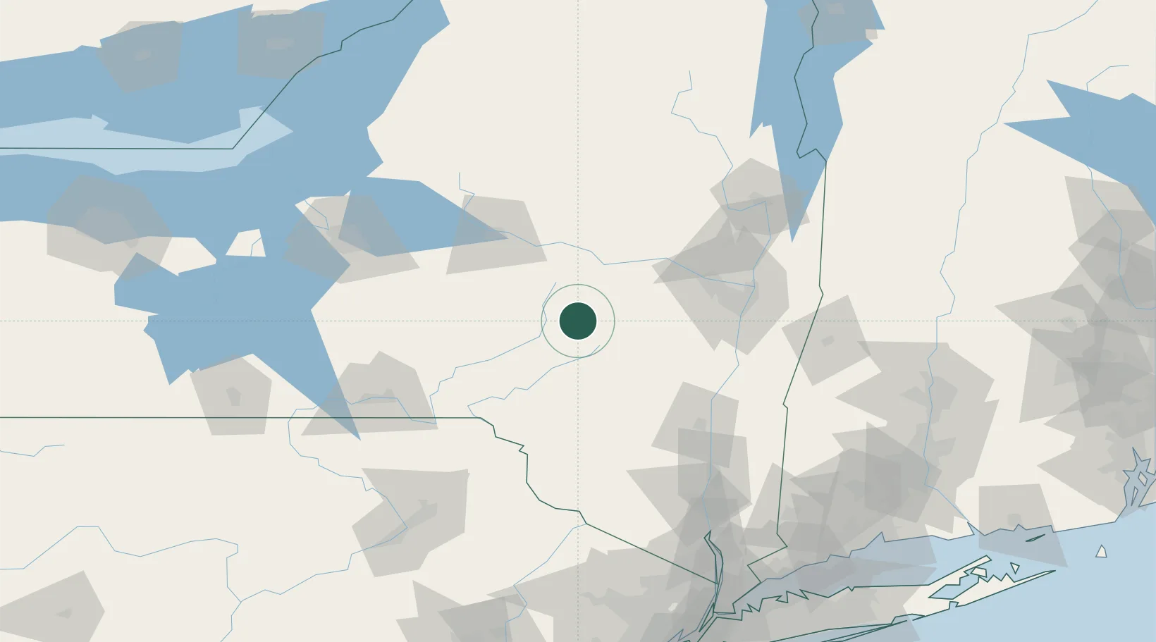
Worcester
42.5833°, -74.7500°
1,113
Population
3
Transport functions
Transport Functions
Rail
Road
Multimodal
Hub Profile
Place type
Populated place
Region
New York
Population
1,113
Time zone
America/New_York
Elevation
407 m
Location
Nearby Logistics Neighbours
Cities
- 1Tuscan1 km
- 2Schenevus7 km
- 3Waverly13 km
- 4Grand Gorge32 km
- 5Garrattsville35 km
Ports
- 1Albany82 km
- 2Rensselaer82 km
- 3Catskill84 km
- 4Troy88 km
- 5Kingston97 km
Airports
Trade Zones
- 1FTZ No. 121 Albany78 km
- 2FTZ No. 172 Oneida County128 km
- 3FTZ No. 037 Orange County134 km
- 4FTZ No. 024 Pittston165 km
- 5FTZ No. 201 Holyoke172 km
DatabookThe Record of Consolidated Knowledge
United States beyond logistics?